Advertisement

Best boat ramps near Winter Springs

41 boat ramps · 41 ranked · updated 2026-11-11 · off-season

Explore the best boat ramps near Winter Springs, Florida — every spot ranked by our conditions-aware Snoflo score: live conditions first, then visitor reviews and logged trips. Click a pin on the map for the score and what's driving it.

Showing the top 15 of 41 boat ramps · best 15 shown on the map
M⛰
Monroe Harbour Marina
#1 Monroe Harbour Marina
8.9 mi away
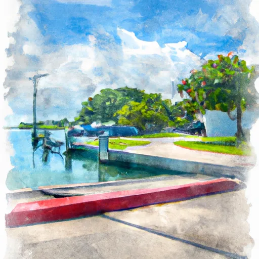
Monroe Harbour Marina is a public boat launch on St. Johns River - Lake Monroe in Seminole County, Florida. Snoflo tracks live launch conditions here from the nearest streamflow…
Why 55: public ramp & water access
55Solid
R⛰
Riverfront Park Public Boat Ramp
#2 Riverfront Park Public Boat Ramp
12.2 mi away
Riverfront Park Public Boat Ramp is a public boat launch on St. Johns River - Lake Monroe in Volusia County, Florida. Snoflo tracks live launch conditions here from the nearest…
Why 55: public ramp & water access
55Solid
H⛰
High Banks Road Public Boat Ramp
#3 High Banks Road Public Boat Ramp
14.9 mi away
High Banks Road Public Boat Ramp is a public boat launch on St. Johns River in Volusia County, Florida. Snoflo tracks live launch conditions here from the nearest streamflow gauge…
Why 55: public ramp & water access
55Solid
V⛰
Venitian Boat Ramp
#4 Venitian Boat Ramp
15.0 mi away
Venitian Boat Ramp is a public boat launch on Lake Conway in Orange County, Florida. Snoflo tracks live launch conditions here from the nearest streamflow gauge and buoys…
Why 55: public ramp & water access
55Solid
R⛰
Randolph Avenue Public Boat Ramp
#5 Randolph Avenue Public Boat Ramp
15.6 mi away
Randolph Avenue Public Boat Ramp is a public boat launch on Little Lake Conway in Orange County, Florida. Snoflo tracks live launch conditions here from the nearest streamflow…
Why 55: public ramp & water access
55Solid
B⛰
Bywater Public Boat Ramp
#6 Bywater Public Boat Ramp
16.0 mi away
Bywater Public Boat Ramp is a public boat launch on Lake Jessamine in Orange County, Florida. Snoflo tracks live launch conditions here from the nearest streamflow gauge and…
Why 55: public ramp & water access
55Solid
P⛰
Perkins Boat Ramp
#7 Perkins Boat Ramp
16.5 mi away
Perkins Boat Ramp is a public boat launch on Lake Conway in Orange County, Florida. Snoflo tracks live launch conditions here from the nearest streamflow gauge and buoys…
Why 55: public ramp & water access
55Solid
H⛰
Hal Scott Regional Preserve and Park
#8 Hal Scott Regional Preserve and Park
17.5 mi away
Hal Scott Regional Preserve and Park is a public boat launch on Hal Scott Regional Preserve Lake in Orange County, Florida. Snoflo tracks live launch conditions here from the…
Why 55: public ramp & water access
55Solid
D⛰
Dinky Dock Park
#9 Dinky Dock Park Prime
7.7 mi away
· Streamflow nearby - Howell Creek Nr Altamonte Springs· Mostly Cloudy · 68°F
Dinky Dock Park is a public boat launch on Lake Virginia in Orange County, Florida. Snoflo tracks live launch conditions here from the nearest streamflow gauge and buoys…
Why 53: live conditions (prime)
53Solid
H⛰
Hatbill Park Sand Ramp
#10 Hatbill Park Sand Ramp
19.8 mi away
Hatbill Park Sand Ramp is a public boat launch on St. Johns River in Brevard County, Florida. Snoflo tracks live launch conditions here from the nearest streamflow gauge and…
Why 55: public ramp & water access
55Solid
S⛰
South Sanford Avenue 5999, Sanford
#11 South Sanford Avenue 5999, Sanford Prime
2.8 mi away
· Streamflow nearby - Gee Creek Nr Longwood· Mostly Cloudy · 67°F
The boat ramp named South Sanford Avenue 5999, Sanford is a public boat ramp located in Seminole County, Florida. It provides access to Lake Monroe, which is a large freshwater…
Why 49: live conditions (prime)
49Rated
C⛰
Crane's Roost Altamonte Springs
#12 Crane's Roost Altamonte Springs Prime
6.8 mi away
· Streamflow nearby - Little Wekiva River Nr Altamonte Springs· Mostly Cloudy · 67°F
Crane's Roost Altamonte Springs is a public boat ramp located in Altamonte Springs, Florida. It provides access to Crane's Roost Lake, which is a 45-acre man-made lake located in…
Why 49: live conditions (prime)
49Rated
H⛰
Hattaway Drive 598, Altamonte Springs
#13 Hattaway Drive 598, Altamonte Springs Prime
7.0 mi away
· Streamflow nearby - Little Wekiva River Nr Altamonte Springs· Mostly Cloudy · 67°F
Hattaway Drive 598 in Altamonte Springs, Florida, does not appear to offer a formal boat launch site. There is no verified concrete, gravel, or dirt ramp, nor an established…
Why 49: live conditions (prime)
49Rated
Q⛰
Quayside Circle 206, Maitland
#14 Quayside Circle 206, Maitland Prime
7.2 mi away
· Streamflow nearby - Howell Creek Nr Altamonte Springs· Mostly Cloudy · 68°F
Quayside Circle 206 in Maitland, Florida, does not appear to be an official or public boat launch site. No verified concrete, gravel, or dirt ramp exists at this location, nor are…
Why 49: live conditions (prime)
49Rated
G⛰
Green Leaf Lane Seminole County
#15 Green Leaf Lane Seminole County Prime
8.1 mi away
· Streamflow nearby - Little Wekiva River Nr Altamonte Springs· Mostly Cloudy · 67°F
The boat ramp named Green Leaf Lane is located in Seminole County, Florida, at the coordinates 28.65239334 latitude and -81.40075684 longitude. It is a public boat ramp that…
Why 49: live conditions (prime)
49Rated

Boat Ramps near Winter Springs

The Winter Springs area has 41 boat ramps on Snoflo, ranked by live conditions, visitor reviews, and logged trips — so the best, closest options rise to the top.

How we rank the best boat ramps near Winter Springs

How are these boat ramps ranked?

Each gets a daily Snoflo score blending live conditions, visitor review ratings, and logged trips. The order reflects what's best right now and re-ranks every day.

How often does it update?

Daily, as new conditions, reviews, and trips arrive — so "best right now" means right now.

What do the numbers on the map mean?

Each pin shows that spot's current Snoflo score; tap it for the breakdown and a link to the full report.

More boat ramps in Florida

Live · ENSO Watch

A record-breaking El Niño is rewriting this winter.

See how the strongest El Niño ever measured is likely to tilt snowpack, river flows and storm tracks across the US — explained for anyone, with the full data for researchers.

—Niño 3.4 anomaly
—Oceanic Niño Index
—Current phase
Explore ENSO Watch
Updated twice daily from NOAA