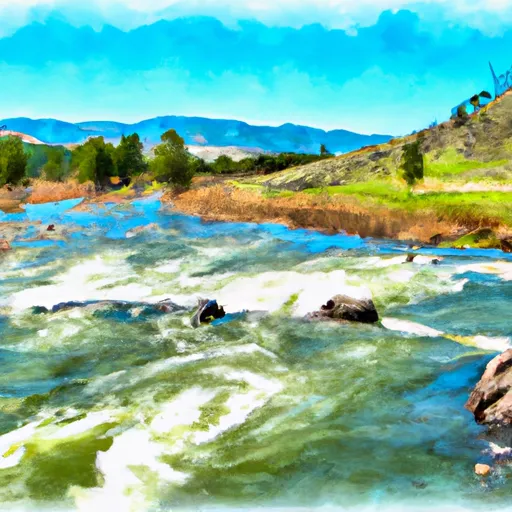
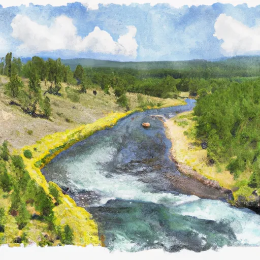
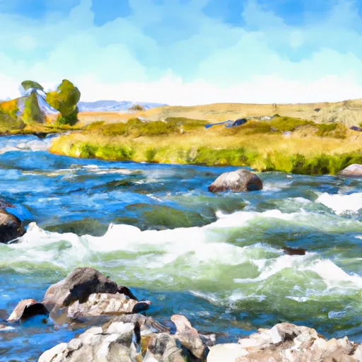
Best paddling in Montana

162 paddle runs · 162 ranked · updated 2026-06-22 · in season

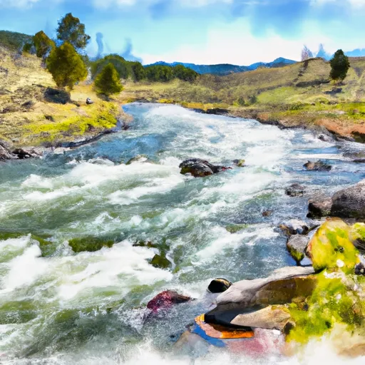
Explore the best paddling in Montana — every spot ranked by our conditions-aware Snoflo score: live conditions first, then visitor reviews and logged trips. Click a pin on the map for the score and what's driving it.
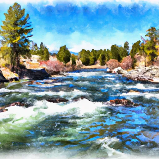
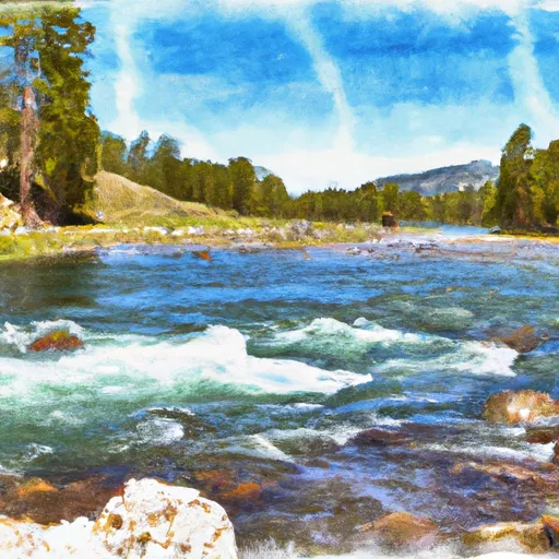
Showing the top 15 of 162 paddle runs · best 15 shown on the map
M
Middle Fork Indian Creek Headwaters, Sec. 14, T12N, R26W To Mainstem, Sec. 25, T12N, R26W
#1 Middle Fork Indian Creek Headwaters, Sec. 14, T12N, R26W To Mainstem, Sec. 25, T12N, R26W Prime
· 9,550 cfs · in range (1,200-20,000)· Falling -4% / 24h
. The Middle Fork Indian Creek Headwaters to Mainstem run in Montana is a popular whitewater river run. The ideal streamflow range for this section of the river is 800-1500 cfs…
Why 91: live conditions (prime)
91Elite
C
Cedar Log Creek Headwaters, Sec. 14, T12N, R26W To Mainstem, Sec. 19, T13N, R25W
#2 Cedar Log Creek Headwaters, Sec. 14, T12N, R26W To Mainstem, Sec. 19, T13N, R25W Prime
· 9,550 cfs · in range (1,200-20,000)· Falling -4% / 24h
The Whitewater River Run in Montana is a popular destination for whitewater enthusiasts. The Cedar Log Creek Headwaters to Mainstem section is approximately 14 miles long and is…
Why 91: live conditions (prime)
91Elite
S
Slowery, Sec. 15, T17N, R27W To Sec. 31, T18N. R28W
#3 Slowery, Sec. 15, T17N, R27W To Sec. 31, T18N. R28W Prime
· 9,550 cfs · in range (1,200-20,000)· Falling -4% / 24h
The whitewater river run Slowery, located in Montana, stretches from Section 15, T17N, R27W to Section 31, T18N, R28W. The ideal streamflow range for this run is between 800-4000…
Why 91: live conditions (prime)
91Elite
S
Schafer Meadows to Bear Creek (Upper)
#4 Schafer Meadows to Bear Creek (Upper) Prime
· 5,800 cfs · in range (1,000-12,000)
The Upper Middle Fork of the Flathead is a very challenging and remote run recommended for advanced paddlers only.  The only way you can access the putin for this float is by…
Why 90: live conditions (prime)
90Elite
A
Absaroka-Beartooth Wilderness Boundary To Headwaters, Sec. 9, T9S, R14E
#5 Absaroka-Beartooth Wilderness Boundary To Headwaters, Sec. 9, T9S, R14E Prime
· 2,290 cfs · in range (900-3,500)· Rising +5% / 24h
The Whitewater River Run in the Absaroka-Beartooth Wilderness Boundary to Headwaters, Sec. 9, T9S, R14E in Montana is an ideal spot for experienced kayakers and rafters. The ideal…
Why 89: live conditions (prime)
89Elite
A
Alberton Gorge (St. John to Forrest Grove)
#6 Alberton Gorge (St. John to Forrest Grove) Prime
· 9,550 cfs · in range (1,200-20,000)· Falling -4% / 24h· Cold day · 33°F
Below Missoula the Clark Fork drops into a canyon gorge known as Alberton Gorge named for the town at the head of the run.  I-90 parallels this run but from the river you won't…
Why 89: live conditions (prime)
89Elite
B
Bad Canyon Creek
#7 Bad Canyon Creek Prime
· 2,290 cfs · in range (900-3,500)· Rising +5% / 24h
Bad Canyon Creek is a popular whitewater river run located in Montana. The ideal streamflow range for this river is between 300 and 800 cfs. At this range, the river provides a…
Why 89: live conditions (prime)
89Elite
B
Bad Canyon Creek
#8 Bad Canyon Creek Prime
· 2,290 cfs · in range (900-3,500)· Rising +5% / 24h
Bad Canyon Creek is a popular whitewater river run located in Montana. The ideal streamflow range for this river run is between 300 and 1000 cfs. The class rating for Bad Canyon…
Why 89: live conditions (prime)
89Elite
B
Bad Canyon Creek
#9 Bad Canyon Creek Prime
· 2,290 cfs · in range (900-3,500)· Rising +5% / 24h
Bad Canyon Creek is a river run located in the state of Montana, in the United States. The ideal streamflow range for this river is between 300 and 800 cubic feet per second…
Why 89: live conditions (prime)
89Elite
B
Bad Canyon Creek
#10 Bad Canyon Creek Prime
· 2,290 cfs · in range (900-3,500)· Rising +5% / 24h
Bad Canyon Creek is a popular whitewater river run located in Montana. The ideal streamflow range for this area is between 300-1000 cfs. The streamflow can change quickly with…
Why 89: live conditions (prime)
89Elite
B
Bad Canyon Creek
#11 Bad Canyon Creek Prime
· 2,290 cfs · in range (900-3,500)· Rising +5% / 24h
Bad Canyon Creek is a popular whitewater river run located in the state of Montana. The ideal streamflow range for this river is between 500 and 1500 cfs, which provides exciting…
Why 89: live conditions (prime)
89Elite
C
Custer Forest Boundary, Sec. 15, T5S, R15E To Absaroka-Beartooth Wilderness Boundary
#12 Custer Forest Boundary, Sec. 15, T5S, R15E To Absaroka-Beartooth Wilderness Boundary Prime
· 2,290 cfs · in range (900-3,500)· Rising +5% / 24h
The Whitewater River Run in Montana is a popular spot for kayakers and whitewater enthusiasts. The ideal streamflow range for kayaking is between 500 and 2000 cfs, although it can…
Why 89: live conditions (prime)
89Elite
E
Essex to Moccasin Creek
#13 Essex to Moccasin Creek Prime
· 4,590 cfs · in range (1,000-9,000)
The Essex to Moccasin Creek river run in Montana is a scenic and enjoyable float trip. It is a Class I-II section with occasional Class III rapids. The best time to float is in…
Why 89: live conditions (prime)
89Elite
1
10 Miles From Tub Gulch To Quartz Creek To 10 Miles From Tub Gulch To Quartz Creek
#14 10 Miles From Tub Gulch To Quartz Creek To 10 Miles From Tub Gulch To Quartz Creek Prime
· 14,000 cfs · in range (5,000-30,000)· Falling -6% / 24h
The Whitewater River Run in Montana is a popular destination for kayakers, rafters, and other adventure seekers. The ideal streamflow range for this river is between 1000 and 3000…
Why 88: live conditions (prime)
88Elite
9
9 Miles From Quartz Creek To Surprise Gulch,Two Miles Below Kootenai Falls To 9 Miles From Quartz Creek To Surprise Gulch,Two Miles Below Kootenai Falls
#15 9 Miles From Quartz Creek To Surprise Gulch,Two Miles Below Kootenai Falls To 9 Miles From Quartz Creek To Surprise Gulch,Two Miles Below Kootenai Falls Prime
· 14,000 cfs · in range (5,000-30,000)· Falling -6% / 24h
The Whitewater River Run is a thrilling adventure that spans 9 miles from Quartz Creek to Surprise Gulch, two miles below Kootenai Falls in Montana. This section of river features…
Why 88: live conditions (prime)
88Elite

Paddling in Montana

Montana has 297 paddle runs on Snoflo, ranked by live conditions, visitor reviews, and logged trips — so the best, closest options rise to the top.

How we rank the best paddling in Montana

How are these paddle runs ranked?

Each gets a daily Snoflo score blending live conditions, visitor review ratings, and logged trips. The order reflects what's best right now and re-ranks every day.

How often does it update?

Daily, as new conditions, reviews, and trips arrive — so "best right now" means right now.

What do the numbers on the map mean?

Each pin shows that spot's current Snoflo score; tap it for the breakdown and a link to the full report.

Paddling near you in Montana