Best paddling near Faber
2 paddle runs · 2 ranked · updated 2026-10-22 · off-season
Explore the best paddling near Faber, Virginia — every spot ranked by our conditions-aware Snoflo score: live conditions first, then visitor reviews and logged trips. Click a pin on the map for the score and what's driving it.
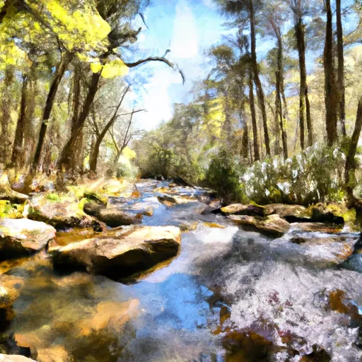
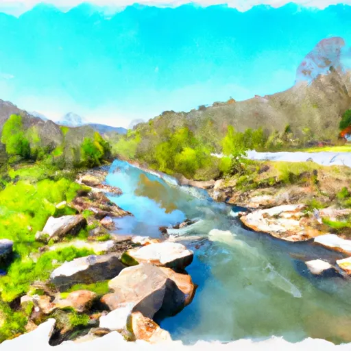
Paddling near Faber
The Faber area has 2 paddle runs on Snoflo, ranked by live conditions, visitor reviews, and logged trips — so the best, closest options rise to the top.
How we rank the best paddling near Faber
How are these paddle runs ranked?
Each gets a daily Snoflo score blending live conditions, visitor review ratings, and logged trips. The order reflects what's best right now and re-ranks every day.
How often does it update?
Daily, as new conditions, reviews, and trips arrive — so "best right now" means right now.
What do the numbers on the map mean?
Each pin shows that spot's current Snoflo score; tap it for the breakdown and a link to the full report.