Advertisement

Best paddling near Fisher

5 paddle runs · 5 ranked · updated 2026-11-11 · off-season

Explore the best paddling near Fisher, West Virginia — every spot ranked by our conditions-aware Snoflo score: live conditions first, then visitor reviews and logged trips. Click a pin on the map for the score and what's driving it.
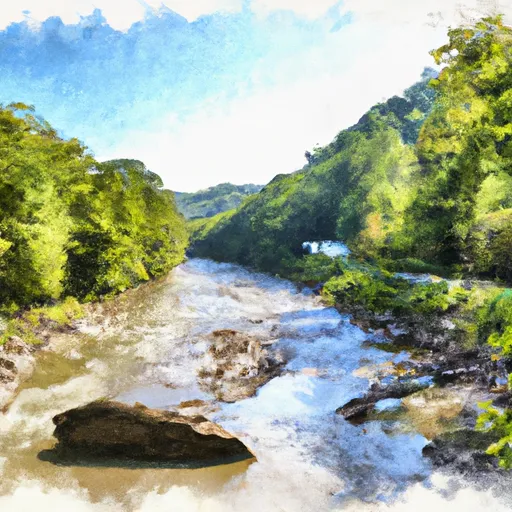
Showing the top 5 of 5 paddle runs · best 15 shown on the map
J⛰
Jake Hill Road Bridge To Shreve Store
#1 Jake Hill Road Bridge To Shreve Store Poor
11.7 mi away
· 158 cfs · below min (370)· Cold day · 40°F
The Whitewater River run from Jake Hill Road Bridge to Shreve Store in West Virginia is a popular destination for whitewater enthusiasts. The ideal streamflow range for this…
Why 35: live conditions (poor)
35Rated
S⛰
Shreve Store To Big Bend Campground
#2 Shreve Store To Big Bend Campground Poor
16.2 mi away
· 61 cfs · below min (370)· Cold day · 43°F
The Whitewater River Run from Shreve Store to Big Bend Campground in West Virginia is a popular destination for whitewater enthusiasts. The ideal streamflow range is between 1,000…
Why 17: live conditions (poor)
17Rated
H⛰
High Ridge Run To Outskirts Of Hopeville
#3 High Ridge Run To Outskirts Of Hopeville Poor
16.9 mi away
· 61 cfs · below min (370)· Cold day · 43°F
The High Ridge Run to Outskirts of Hopeville is a popular whitewater river run in West Virginia, known for its thrilling rapids and breathtaking scenery. The ideal streamflow…
Why 17: live conditions (poor)
17Rated
B⛰
Big Bend Campground To Canyon Exit (Just Prior To Confluence With North Branch)
#4 Big Bend Campground To Canyon Exit (Just Prior To Confluence With North Branch) Poor
19.0 mi away
· 61 cfs · below min (370)· Cold day · 43°F
The Big Bend Campground to Canyon Exit (just prior to confluence with North Branch) is a popular whitewater river run located in the state of West Virginia. The ideal streamflow…
Why 17: live conditions (poor)
17Rated
P⛰
Perennial Stream At Forks To Dolly Sods Wilderness Boundary
#5 Perennial Stream At Forks To Dolly Sods Wilderness Boundary Poor
18.2 mi away
· 48 cfs · below min (500)· Falling -7% / 24h· Cold day · 39°F
The Whitewater River run in West Virginia is an exciting river experience with varying class ratings and unique obstacles. The ideal flow range for this river run is between…
Why 16: live conditions (poor)
16Rated

Paddling near Fisher

The Fisher area has 6 paddle runs on Snoflo, ranked by live conditions, visitor reviews, and logged trips — so the best, closest options rise to the top.

How we rank the best paddling near Fisher

How are these paddle runs ranked?

Each gets a daily Snoflo score blending live conditions, visitor review ratings, and logged trips. The order reflects what's best right now and re-ranks every day.

How often does it update?

Daily, as new conditions, reviews, and trips arrive — so "best right now" means right now.

What do the numbers on the map mean?

Each pin shows that spot's current Snoflo score; tap it for the breakdown and a link to the full report.

More paddling in West Virginia

Live · ENSO Watch

A record-breaking El Niño is rewriting this winter.

See how the strongest El Niño ever measured is likely to tilt snowpack, river flows and storm tracks across the US — explained for anyone, with the full data for researchers.

—Niño 3.4 anomaly
—Oceanic Niño Index
—Current phase
Explore ENSO Watch
Updated twice daily from NOAA