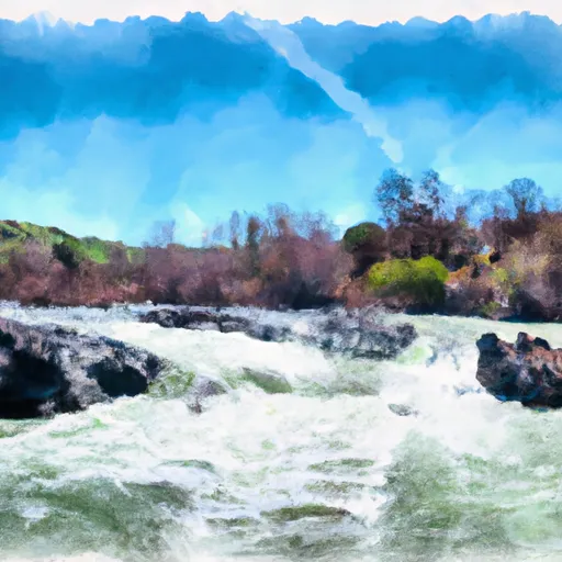
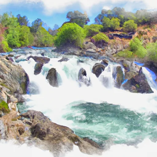
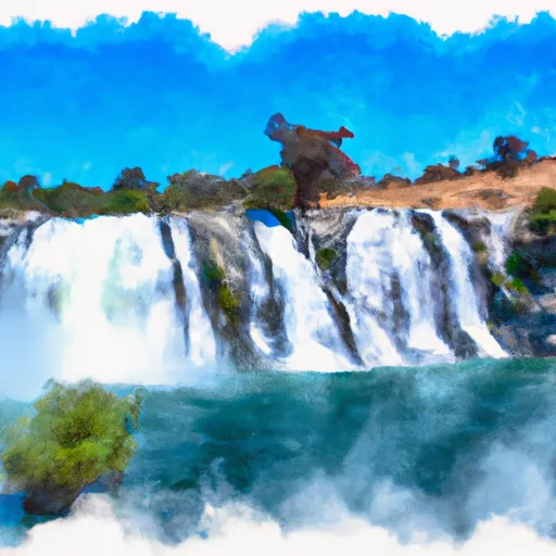
Best paddling near Mariposa

16 paddle runs · 16 ranked · updated 2026-06-22 · off-season

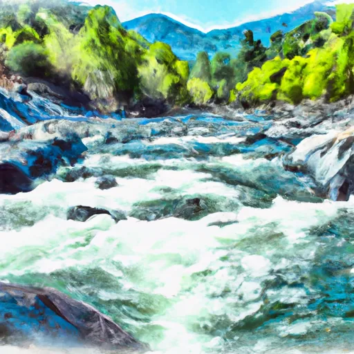
Explore the best paddling near Mariposa, California — every spot ranked by our conditions-aware Snoflo score: live conditions first, then visitor reviews and logged trips. Click a pin on the map for the score and what's driving it.

Showing the top 15 of 16 paddle runs · best 15 shown on the map
C
Confluence With North Fork San Joaquin River To Hells Half Acre
#1 Confluence With North Fork San Joaquin River To Hells Half Acre Prime
39.8 mi away
· 172 cfs · in range (100-250)· Falling -10% / 24h· Cold day · 44°F
The Whitewater River Run Confluence with North Fork San Joaquin River to Hells Half Acre in California is an exciting adventure for experienced kayakers and rafters. The ideal…
Why 71: live conditions (prime)
71Top-rated
H
Hemlock Crossing To Confluence With Cora Creek
#2 Hemlock Crossing To Confluence With Cora Creek Prime
41.5 mi away
· 172 cfs · in range (100-250)· Falling -10% / 24h· Cold day · 44°F
The Hemlock Crossing to Confluence with Cora Creek whitewater river run is located in the state of California and is a popular destination for kayakers and rafters. The ideal…
Why 71: live conditions (prime)
71Top-rated
H
Headwaters In Sec 8, T3S, R25 E To Hemlock Crossing
#3 Headwaters In Sec 8, T3S, R25 E To Hemlock Crossing Prime
42.5 mi away
· 172 cfs · in range (100-250)· Falling -10% / 24h· Cold day · 44°F
The Whitewater River Run from Headwaters in Sec 8, T3S, R25 E to Hemlock Crossing in California is a popular destination for white water enthusiasts. The ideal streamflow range…
Why 71: live conditions (prime)
71Top-rated
C
Cora Creek To Confluence With San Joaquin River
#4 Cora Creek To Confluence With San Joaquin River Prime
43.3 mi away
· 172 cfs · in range (100-250)· Falling -10% / 24h· Cold day · 44°F
The whitewater river run from Cora Creek to the confluence with San Joaquin River in California is a challenging Class IV-V run that spans 12 miles. The ideal streamflow range for…
Why 71: live conditions (prime)
71Top-rated
R
Rainbow Falls To Confluence With North Fork San Joaquin River
#5 Rainbow Falls To Confluence With North Fork San Joaquin River Prime
43.8 mi away
· 172 cfs · in range (100-250)· Falling -10% / 24h· Cold day · 44°F
The Whitewater River run from Rainbow Falls to Confluence with North Fork San Joaquin River in California is a challenging and exciting adventure for experienced kayakers and…
Why 71: live conditions (prime)
71Top-rated
 Rainbow Falls To  National Monument Boundary
#6 Rainbow Falls To National Monument Boundary Prime
49.6 mi away
· 172 cfs · in range (100-250)· Falling -10% / 24h· Cold day · 44°F
The Whitewater River Run from Rainbow Falls to the National Monument Boundary in California is a popular spot for rafting and kayaking. The ideal streamflow range for this section…
Why 71: live conditions (prime)
71Top-rated
 National Monument Boundary To  Soda Springs Footbridge In Devils Postpile National Monument
#7 National Monument Boundary To Soda Springs Footbridge In Devils Postpile National Monument Prime
49.8 mi away
· 172 cfs · in range (100-250)· Falling -10% / 24h· Cold day · 44°F
The Whitewater River Run from the National Monument Boundary to the Soda Springs Footbridge in Devils Postpile National Monument, California, is a popular destination for…
Why 71: live conditions (prime)
71Top-rated
 Soda Springs Footbridge In Devils Postpile National Monument To  Rainbow Falls
#8 Soda Springs Footbridge In Devils Postpile National Monument To Rainbow Falls Prime
49.8 mi away
· 172 cfs · in range (100-250)· Falling -10% / 24h· Cold day · 44°F
The Whitewater River Run from Soda Springs Footbridge in Devils Postpile National Monument to Rainbow Falls in California is a popular and challenging whitewater rafting…
Why 71: live conditions (prime)
71Top-rated
A
Agnew Meadows To Soda Springs Footbridge
#9 Agnew Meadows To Soda Springs Footbridge Prime
49.8 mi away
· 172 cfs · in range (100-250)· Falling -10% / 24h· Cold day · 44°F
The Agnew Meadows to Soda Springs Footbridge whitewater run in California is a popular destination for intermediate to advanced level kayakers and rafters. The ideal streamflow…
Why 71: live conditions (prime)
71Top-rated
H
Headwaters At Thousand Island Lake To Agnew Meadows
#10 Headwaters At Thousand Island Lake To Agnew Meadows Prime
50.0 mi away
· 172 cfs · in range (100-250)· Falling -10% / 24h· Cold day · 44°F
The Whitewater River Run on the San Joaquin River is a popular class III-IV+ whitewater run in California. The ideal streamflow range for this run is between 600-1000 cfs, which…
Why 71: live conditions (prime)
71Top-rated
O
One-Tenth Mile Downstream Of Coffin Hollow To Confluence With Bell Creek And Clavey River
#11 One-Tenth Mile Downstream Of Coffin Hollow To Confluence With Bell Creek And Clavey River
43.1 mi away
The Whitewater River Run from one-tenth mile downstream of Coffin Hollow to the confluence with Bell Creek and Clavey River in California is a popular destination for whitewater…
Why 65: resort size & terrain
65Top-rated
L
Lilly Creek (Source At Chewing Gum Lake And Y Meadow Lake) To One-Tenth  Mile Downstream Of Coffin Hollow
#12 Lilly Creek (Source At Chewing Gum Lake And Y Meadow Lake) To One-Tenth Mile Downstream Of Coffin Hollow
43.2 mi away
The Lilly Creek to Coffin Hollow segment of the Whitewater River in California is a popular run for whitewater enthusiasts. The ideal streamflow range for this segment is between…
Why 65: resort size & terrain
65Top-rated
O
One-Tenth  Mile Upstream Of Crabtree Trailhead To 0.15 Mile Downstream Of Road 4N26B
#13 One-Tenth Mile Upstream Of Crabtree Trailhead To 0.15 Mile Downstream Of Road 4N26B
45.8 mi away
The Whitewater River run, located in the state of California, stretches from one-tenth of a mile upstream of Crabtree Trailhead to 0.15 miles downstream of Road 4N26B. The ideal…
Why 65: resort size & terrain
65Top-rated
B
Bell Creek Headwaters To One-Tenth  Mile Upstream Of Crabtree Trailhead
#14 Bell Creek Headwaters To One-Tenth Mile Upstream Of Crabtree Trailhead
46.5 mi away
The Bell Creek Headwaters to one-tenth of a mile upstream of Crabtree Trailhead is a Class IV-V river run, with a segment mileage of approximately 5 miles. The ideal streamflow…
Why 65: resort size & terrain
65Top-rated
C
Confluence With North Fork And Middle Fork Stanislaus To Clark Flat
#15 Confluence With North Fork And Middle Fork Stanislaus To Clark Flat
48.8 mi away
The Confluence With North Fork And Middle Fork Stanislaus To Clark Flat whitewater river run in California is a popular spot for advanced paddlers. The ideal streamflow range for…
Why 65: resort size & terrain
65Top-rated

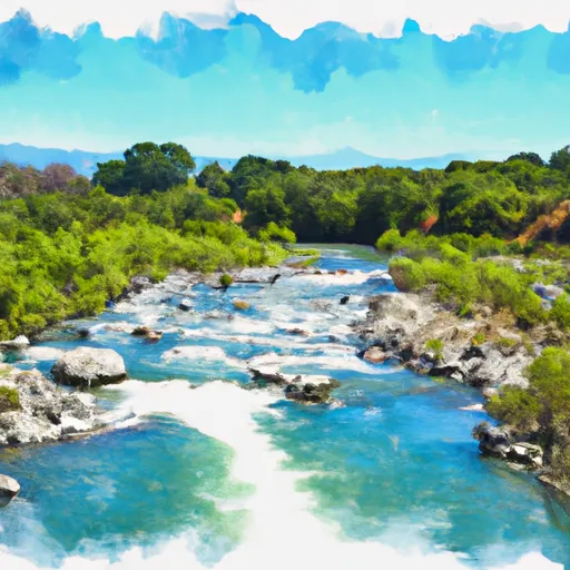
Paddling near Mariposa

The Mariposa area has 16 paddle runs on Snoflo, ranked by live conditions, visitor reviews, and logged trips — so the best, closest options rise to the top.

How we rank the best paddling near Mariposa

How are these paddle runs ranked?

Each gets a daily Snoflo score blending live conditions, visitor review ratings, and logged trips. The order reflects what's best right now and re-ranks every day.

How often does it update?

Daily, as new conditions, reviews, and trips arrive — so "best right now" means right now.

What do the numbers on the map mean?

Each pin shows that spot's current Snoflo score; tap it for the breakdown and a link to the full report.

More paddling in California