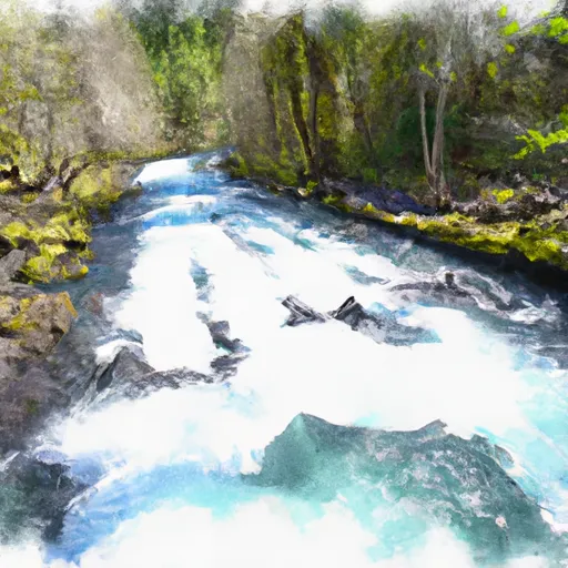
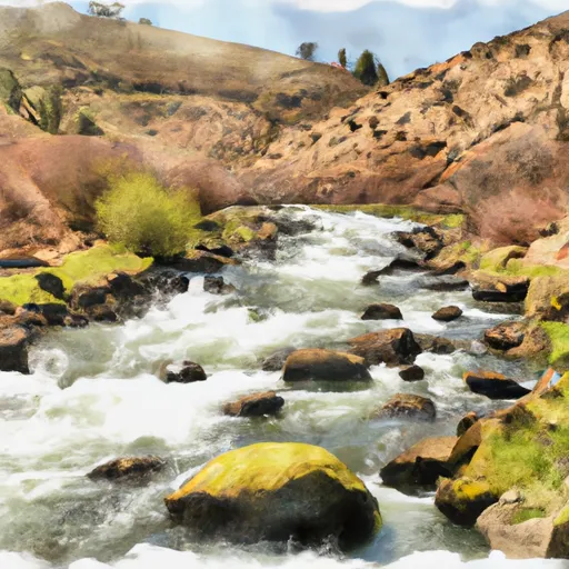
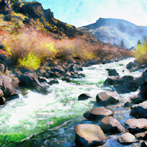
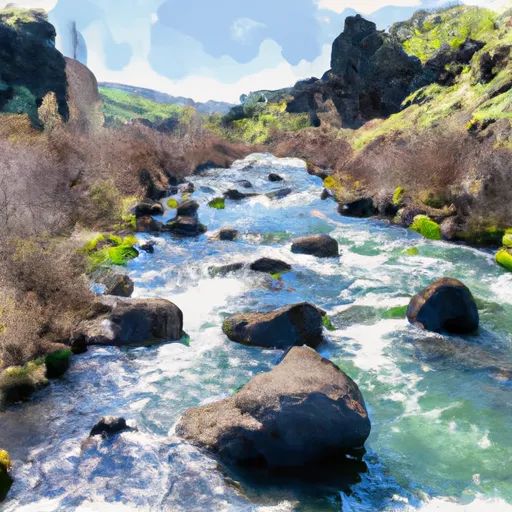
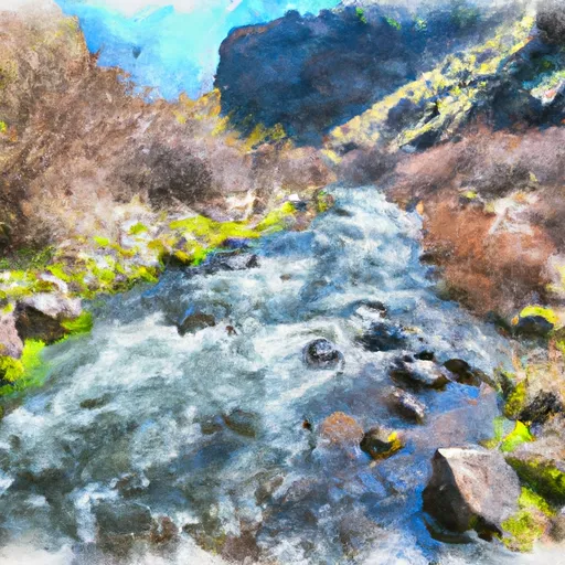
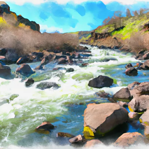
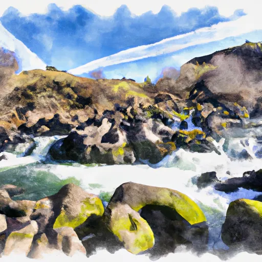
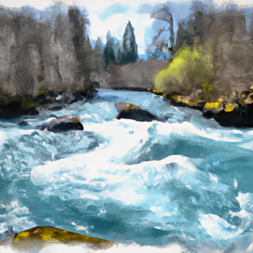
Best paddling in Oregon

129 paddle runs · 129 ranked · updated 2026-07-12 · in season

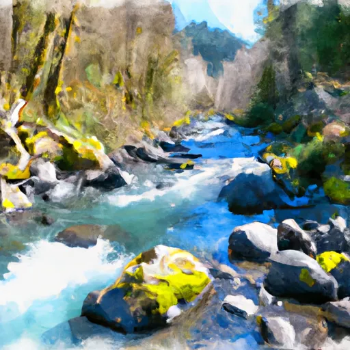
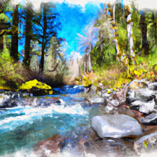
Explore the best paddling in Oregon — every spot ranked by our conditions-aware Snoflo score: live conditions first, then visitor reviews and logged trips. Click a pin on the map for the score and what's driving it.
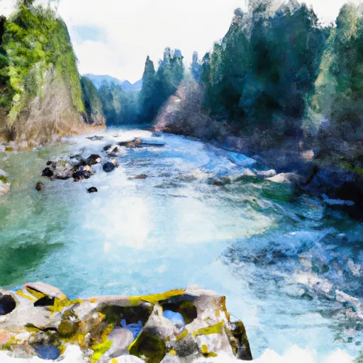
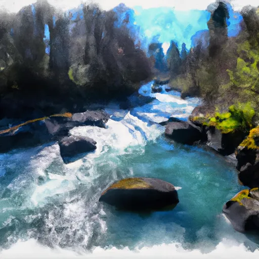
Showing the top 15 of 129 paddle runs · best 15 shown on the map
N
North Santiam River
#1 North Santiam River Prime
· 1,210 cfs · in range (1,000-2,000)
The North Santiam River in Oregon is a popular whitewater river run for kayakers, rafters, and other water sport enthusiasts. The ideal streamflow range for this river run is…
Why 82: live conditions (prime)
82Elite
N
North Santiam River
#2 North Santiam River Good
· 1,230 cfs · in range (800-3,200)
The North Santiam River is a popular whitewater river run in the state of Oregon, with an ideal streamflow range of 1,000 to 2,500 cfs. It is rated as a Class III river, with some…
Why 81: live conditions (good)
81Elite
F
Falls (Nw1/4 Of Sec 15, T36S, R9W) To Confluence With Silver Creek
#3 Falls (Nw1/4 Of Sec 15, T36S, R9W) To Confluence With Silver Creek Prime
· 1,350 cfs · in range (1,000-3,000)· Rising +12% / 24h
Why 79: live conditions (prime)
79Top-rated
M
Mill City to Mehama
#4 Mill City to Mehama Good
· 1,230 cfs · in range (800-3,000)· Thunderstorms in forecast
The Mill City to Mehama river run on the North Santiam River in Oregon is a Class II to III rapids run with some challenging obstacles. The river features several Class III…
Why 79: live conditions (good)
79Top-rated
M
Mckenzie River Seg A
#5 Mckenzie River Seg A Good
· 1,980 cfs · in range (600-12,000)
The McKenzie River is a popular whitewater river run in the state of Oregon, with its Segment A being particularly popular among kayakers and rafters. The ideal streamflow range…
Why 78: live conditions (good)
78Top-rated
N
North Fork Gate Creek
#6 North Fork Gate Creek Good
· 1,980 cfs · in range (600-12,000)
. The North Fork Gate Creek, located in southwestern Oregon, is a popular whitewater river run among kayakers and rafters. The ideal streamflow range for this river is between 600…
Why 78: live conditions (good)
78Top-rated
S
South Fork Gate Creek
#7 South Fork Gate Creek Good
· 1,980 cfs · in range (600-12,000)
The South Fork of Gate Creek is a popular whitewater river run located in the state of Oregon. The ideal streamflow range for this section is between 300 and 1,000 cubic feet per…
Why 78: live conditions (good)
78Top-rated
L
Lost Creek Lake to Gold Ray Dam
#8 Lost Creek Lake to Gold Ray Dam Good
· 1,440 cfs · in range (1,000-3,000)· Windy · 30 mph· Thunderstorms in forecast
The Lost Creek Lake to Gold Ray Dam river run on the Rogue River is a moderately difficult 8-mile stretch with Class II and III rapids. The best time to float this section is in…
Why 77: live conditions (good)
77Top-rated
R
Rock Creek Complex (Klickitat County)
#9 Rock Creek Complex (Klickitat County) Good
· 3,690 cfs · in range (3,000-8,000)· Windy · 30 mph
The Rock Creek Complex is a popular whitewater river run located in Klickitat County, Oregon. The ideal streamflow range for this run is between 800-2000 cfs, and it is rated as a…
Why 77: live conditions (good)
77Top-rated
R
Rock Creek Complex (Klickitat County)
#10 Rock Creek Complex (Klickitat County) Good
· 3,690 cfs · in range (3,000-8,000)· Windy · 30 mph
The Rock Creek Complex is a popular river run located in Klickitat County, Oregon. The ideal streamflow range for this stretch of river is between 800 - 1,500 cfs, with higher…
Why 77: live conditions (good)
77Top-rated
R
Rock Creek Complex (Klickitat County)
#11 Rock Creek Complex (Klickitat County) Good
· 3,690 cfs · in range (3,000-8,000)· Windy · 30 mph
. The Rock Creek Complex on the Whitewater River, located in Klickitat County, Oregon, is a popular destination for rafting and kayaking enthusiasts. The ideal streamflow range…
Why 77: live conditions (good)
77Top-rated
R
Rock Creek Complex (Klickitat County)
#12 Rock Creek Complex (Klickitat County) Good
· 3,690 cfs · in range (3,000-8,000)· Windy · 30 mph
The Rock Creek Complex in Klickitat County, Oregon, is a popular destination for whitewater river running. The ideal streamflow range for this area is between 800-3000 cubic feet…
Why 77: live conditions (good)
77Top-rated
R
Rock Creek Complex (Klickitat County)
#13 Rock Creek Complex (Klickitat County) Good
· 3,690 cfs · in range (3,000-8,000)· Windy · 30 mph
Why 77: live conditions (good)
77Top-rated
R
Rock Creek Complex (Klickitat County)
#14 Rock Creek Complex (Klickitat County) Good
· 3,690 cfs · in range (3,000-8,000)· Windy · 30 mph
The Rock Creek Complex, located in Klickitat County, Oregon, is a popular whitewater river run for enthusiasts of all skill levels. Class ratings for the run can range from Class…
Why 77: live conditions (good)
77Top-rated
L
Lower Deschutes (Sherars Falls to Columbia River)
#15 Lower Deschutes (Sherars Falls to Columbia River) Good
· 3,690 cfs · in range (3,000-8,000)· Thunderstorms in forecast
The Lower Deschutes river run from Sherars Falls to the Columbia River is a challenging and scenic stretch of water. The rapids on this run range from class II to class IV, with…
Why 76: live conditions (good)
76Top-rated

Paddling in Oregon

Oregon has 272 paddle runs on Snoflo, ranked by live conditions, visitor reviews, and logged trips — so the best, closest options rise to the top.

How we rank the best paddling in Oregon

How are these paddle runs ranked?

Each gets a daily Snoflo score blending live conditions, visitor review ratings, and logged trips. The order reflects what's best right now and re-ranks every day.

How often does it update?

Daily, as new conditions, reviews, and trips arrive — so "best right now" means right now.

What do the numbers on the map mean?

Each pin shows that spot's current Snoflo score; tap it for the breakdown and a link to the full report.

Paddling near you in Oregon