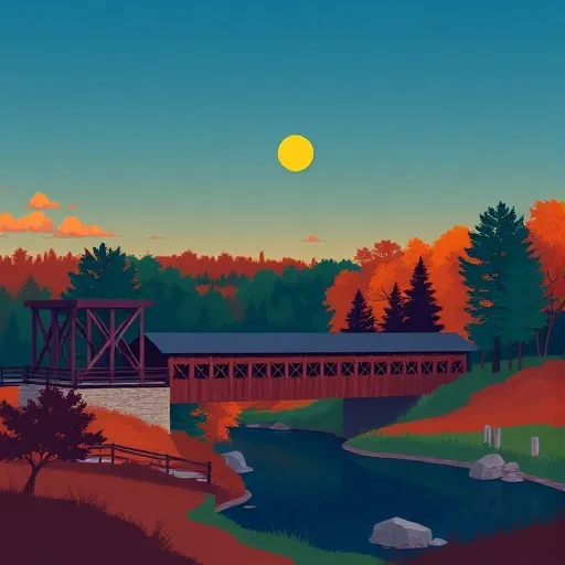
Best points of interest near Bloomingdale

18 points of interest · 18 ranked · updated 2026-07-26 · off-season

Explore the best points of interest near Bloomingdale, Indiana — every spot ranked by our conditions-aware Snoflo score: live conditions first, then visitor reviews and logged trips. Click a pin on the map for the score and what's driving it.

Showing the top 15 of 18 points of interest · best 15 shown on the map
W
Wilkins Mill Covered Bridge
#1 Wilkins Mill Covered Bridge
1.8 mi away
Wilkins Mill Covered Bridge is a historic covered bridge located near Crawfordsville in west-central Indiana. The structure spans a waterway in a rural area, offering visitors a…
Why 40: protected / landmark status
40Rated
R
Rush Creek Covered Bridge
#2 Rush Creek Covered Bridge
3.2 mi away
The Rush Creek Covered Bridge is south of Tangier, Indiana. The single span Burr Arch covered bridge structure was built by William Hendricks in 1904. (Source: Wikipedia, CC BY-SA)
Why 40: protected / landmark status
40Rated
W
Wedge Rock
#3 Wedge Rock
3.2 mi away
Wedge Rock is a rock formation located near Crawfordsville in west-central Indiana. The site attracts visitors interested in geological features and outdoor exploration. Its…
Why 40: protected / landmark status
40Rated
C
County Road 800N
#4 County Road 800N
3.6 mi away
The Marshall Covered Bridge is a single span Burr arch truss covered bridge structure in Liberty Township, Parke County, Indiana that was built by Joseph A. Britton & Son in 1917…
Why 40: protected / landmark status
40Rated
N
Narrows Covered Bridge
#5 Narrows Covered Bridge
3.9 mi away
Narrows Covered Bridge is a historic covered bridge located near Crawfordsville in western Indiana. The bridge spans a scenic waterway in the region and offers visitors a glimpse…
Why 40: protected / landmark status
40Rated
M
Marshall Arch
#6 Marshall Arch
4.4 mi away
The Arch in the Town of Marshall, also known as Marshall Arch, is an arch spanning State Road 236 in downtown Marshall, Indiana, United States. The wooden arch has a span of 51…
Why 40: protected / landmark status
40Rated
W
West Union Bridge
#7 West Union Bridge
4.5 mi away
The West Union Covered Bridge formerly carried Tow Path Road over Sugar Creek north-northeast of Montezuma, Indiana. The two-span Burr Arch Truss covered bridge structure was…
Why 40: protected / landmark status
40Rated
M
Mill Creek - Tow Path Bridge
#8 Mill Creek - Tow Path Bridge
5.8 mi away
The Mill Creek Covered Bridge also known as "Thompson's Ford Covered Bridge," "Tow Path Covered Bridge," or "Earl Ray Covered Bridge" crosses Wabash Mill Creek (historic)…
Why 40: protected / landmark status
40Rated
B
Bowsher Ford Bridge
#9 Bowsher Ford Bridge
6.0 mi away
The Bowsher Ford Covered Bridge is a single span Burr Arch truss covered bridge structure in Liberty Township, Parke County, Indiana that was built by J.A. Britton's son, Eugene…
Why 40: protected / landmark status
40Rated
O
Obsons Farm Corn Maze
#10 Obsons Farm Corn Maze
6.4 mi away
Obsons Farm Corn Maze is a seasonal attraction located near Terre Haute in southwestern Indiana. Visitors can navigate through an elaborate maze carved into a cornfield, a popular…
Why 40: protected / landmark status
40Rated
S
Sim Smith Bridge
#11 Sim Smith Bridge
8.4 mi away
The Sim Smith Covered Bridge is east of Montezuma, Indiana. The single span Burr Truss covered bridge structure was built by Joseph A. Britton in 1883. The bridge is 101 feet…
Why 40: protected / landmark status
40Rated
S
Sim Smith Covered Bridge
#12 Sim Smith Covered Bridge
8.4 mi away
The Sim Smith Covered Bridge is east of Montezuma, Indiana. The single span Burr Truss covered bridge structure was built by Joseph A. Britton in 1883. The bridge is 101 feet…
Why 40: protected / landmark status
40Rated
B
Beeson Covered Bridge
#13 Beeson Covered Bridge
8.6 mi away
The Beeson Covered Bridge originally crossed Roaring Creek, one mile (1.6 km) northwest of Marshall, Indiana, on County Road 216, in Washington Township, Parke County. The bridge…
Why 40: protected / landmark status
40Rated
B
Billie Creek Covered Bridge
#14 Billie Creek Covered Bridge
8.7 mi away
The Billie Creek Covered Bridge is a Burr Arch structure in Adams Township, Parke County, Indiana that was built by Joseph J. Daniels in 1895. J.L. Van Fossen supplied the…
Why 40: protected / landmark status
40Rated
L
Leatherwood Station Covered Bridge
#15 Leatherwood Station Covered Bridge
8.9 mi away
The Leatherwood Station Covered Bridge is a single span double Burr Arch Truss covered bridge structure that was built by Joseph A. Britton & Son in 1899. Originally it had…
Why 40: protected / landmark status
40Rated

Points of Interest near Bloomingdale

The Bloomingdale area has 18 points of interest on Snoflo, ranked by live conditions, visitor reviews, and logged trips — so the best, closest options rise to the top.

How we rank the best points of interest near Bloomingdale

How are these points of interest ranked?

Each gets a daily Snoflo score blending live conditions, visitor review ratings, and logged trips. The order reflects what's best right now and re-ranks every day.

How often does it update?

Daily, as new conditions, reviews, and trips arrive — so "best right now" means right now.

What do the numbers on the map mean?

Each pin shows that spot's current Snoflo score; tap it for the breakdown and a link to the full report.

More points of interest in Indiana