Summary
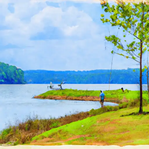
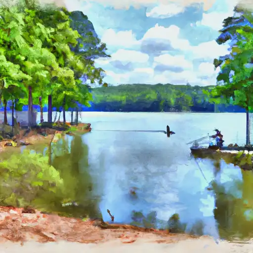
It is approximately 15 feet wide and has a gradual slope into the water. The ramp is located on the eastern side of Lake Wedowee, a 10,000-acre reservoir located on the Tallapoosa River.
The ramp is designed to accommodate small to medium-sized boats and watercraft, such as fishing boats, pontoon boats, and jet skis. However, larger boats may experience difficulty launching or retrieving due to the narrow width of the ramp.
It is important to note that regulations and restrictions on Lake Wedowee may vary depending on the time of year, local ordinances, and other factors. Boaters should always consult with local authorities and adhere to posted signs and regulations.
°F
°F
mph
Wind
%
Humidity

 Aaron Drive Randolph County
 Harris Reservoir
 Crooked Creek
 Lake Virginia