Summary
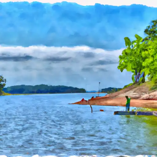
However, there is a Florence Harbor Marina located in Florence, Alabama that services the Tennessee River. The marina offers a boat ramp for public use that can accommodate boats up to 30 feet in length and 10 feet in width. The Tennessee River is a popular destination for recreational boating and allows for various types of watercraft, including pontoon boats, kayaks, canoes, and fishing boats. It is important to note that regulations and restrictions may vary depending on the specific area of the river. It is recommended to check with local authorities or the marina for the most up-to-date information.
°F
°F
mph
Wind
%
Humidity
15-Day Weather Outlook
5-Day Hourly Forecast Detail
Area Streamflow Levels
| CYPRESS CREEK NEAR FLORENCE AL | 257cfs |
| SHOAL CREEK AT IRON CITY | 254cfs |
| BIG NANCE CREEK AT COURTLAND AL | 90cfs |
| BEAR CREEK AT BISHOP | 4330cfs |
| BEAR CREEK NEAR RED BAY | 165cfs |
| ELK RIVER AT PROSPECT | 1160cfs |

 Florence
 Pickwick Lake
 Cypress Creek
 Brotherick Branch
 Indiancamp Creek