


32nd Avenue Southwest Collier County Boat Launch Report
Last Updated: May 3, 2026
Leave a Rating°F
°F
mph
Wind
%
Humidity
According to the latest information available, the boat ramp named 32nd Avenue Southwest in Collier County, Florida is a public boat ramp that provides access to the Gulf of Mexico.
Summary
It is a concrete ramp that is approximately 25 feet wide and can accommodate a variety of watercraft, including boats, kayaks, and jet skis. The latitude and longitude coordinates provided are accurate and place the boat ramp in a residential area near the intersection of 32nd Avenue Southwest and Bayshore Drive.
The body of water that the 32nd Avenue Southwest boat ramp services is the Gulf of Mexico, which is a large saltwater body connected to the Atlantic Ocean. The Gulf of Mexico is popular for fishing, boating, and other water activities due to its warm waters and diverse marine life.
As a public boat ramp, the 32nd Avenue Southwest ramp allows a variety of watercraft to launch, including powerboats, sailboats, and personal watercraft such as jet skis. However, it is important to note that some areas of the Gulf of Mexico are restricted for certain types of watercraft, such as areas designated for swimming and areas protected for marine life. It is always recommended to check with local authorities to ensure that the watercraft being used is permitted in the area.
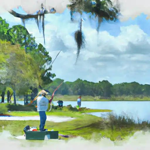
 32nd Avenue Southwest Collier County
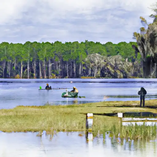
 Rose Apple Lake
 Lake Trafford
 Ladyfinger Lake
 Caloosa Lake
 Lake Camille