United States
•
California
Lucerne Harbor Park
Lucerne Harbor Park is a public boat ramp located on the shoreline of Clear Lake in Lake County, California. The ramp is concrete and wide enough to accommodate two lanes of boat traffic. The coordinates for the ramp are 39.09043121 latitude and -122.79656219 longitude.
Clear Lake is the largest natural freshwater lake entirely within the state of California, covering approximately 68 square miles. The lake is a popular destination for recreational boating, fishing, and water sports. The water is generally calm and suitable for a variety of watercraft, including motorboats, sailboats, kayaks, and canoes.
According to the latest information available on the Lake County website, the Lucerne Harbor Park Boat Ramp is open year-round and is free of charge. It can accommodate boats up to 24 feet in length, and there is no horsepower limit on the lake. However, all boats must comply with California boating regulations, including safety equipment requirements and speed limits. Get driving directions.
STREAMFLOW LEVELS
Streamgauge | Streamflow |
---|---|
Brush C A Santa Rosa Ca
USGS 11466065 |
2 cfs |
Willits C Ab Lk Emily Nr Willits Ca
USGS 11472160 |
0 cfs |
Putah C Nr Winters Ca
USGS 11454000 |
469 cfs |
Cahto C Nr Laytonville Ca
USGS 11475610 |
0 cfs |
Napa R Nr St Helena Ca
USGS 11456000 |
15 cfs |
Outlet C Nr Willits Ca
USGS 11472180 |
9 cfs |
Mf Eel R Nr Dos Rios Ca
USGS 11473900 |
1,960 cfs |
Nearby Camping
Location | Campsites | Reservations | Toilets | Showers | Elevation |
---|---|---|---|---|---|
Deer Valley | 13 | 3,616 ft | |||
Mill Valley | 15 | 4,086 ft | |||
Penny Pines | 10 | 3,688 ft | |||
Saddle Camp Loop | 9 | 4,522 ft | |||
Cedar Camp | 6 | 4,262 ft | |||
Dixie Glade Horse Camp | 7 | 3,043 ft | |||
Spillway - Letts Lake | 9 | 4,496 ft | |||
Stirrup - Letts Lake | 28 | 4,378 ft | |||
Main Letts | 18 | 4,546 ft |
Weather Forecast
Nearby Boat Launches
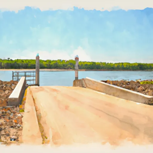
Nearby Fishing
Points of Interest
Location |
---|
Indian Valley Viewpoint |