Summary
It is a concrete boat ramp that is suitable for launching small to medium-sized boats. The ramp is approximately 10 feet wide and has a gentle slope, which makes it easy for boaters to launch and retrieve their vessels.
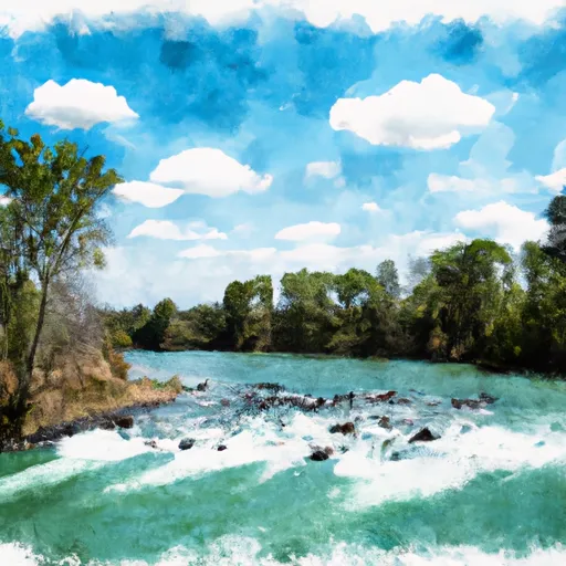
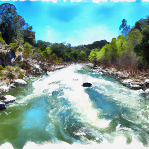
The boat ramp at Jelly's Ferry provides access to the Sacramento River, which is a major waterway in California that flows from the northern part of the state to the San Francisco Bay. The Sacramento River is used for a variety of recreational activities, including boating, fishing, and water sports.
The kind of craft that are permitted on the water at Jelly's Ferry boat ramp include motorboats, sailboats, kayaks, canoes, and other non-motorized watercraft. Boaters are required to have a valid California Boater Card, which is mandatory for all operators of vessels on California waterways.
The information above has been verified based on the latest available sources as of October 2021. It is always important to check with local authorities for the most up-to-date information on regulations, restrictions, and services at any given boat ramp or waterway.
°F
°F
mph
Wind
%
Humidity

 Jelly's Ferry
 Main Street 98, Red Bluff
 Sacramento River
 Paynes Creek