

Summary
15-Day Long Term Forecast
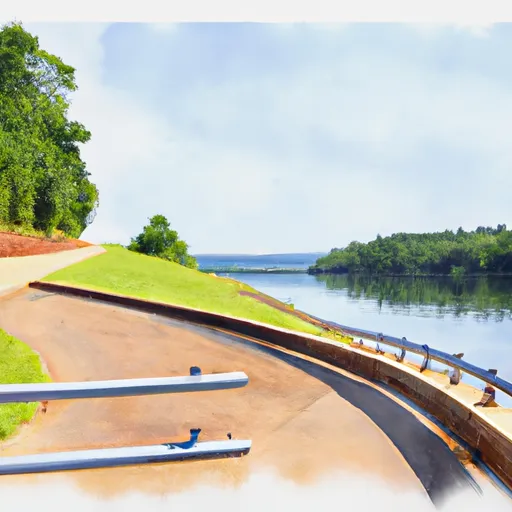
 167 County Line Park Rd, Manson, NC 27553
5-Day Hourly Forecast Detail
Area Streamflow Levels
| ALLEN CREEK NEAR BOYDTON | 1cfs |
| TAR RIVER NEAR TAR RIVER | 5cfs |
| TAR R AT US 401 AT LOUISBURG | 39cfs |
| MEHERRIN RIVER NEAR LAWRENCEVILLE | 85cfs |
| MAYO CR NR BETHEL HILL | 4cfs |
| ALLEN CREEK NEAR BOYDTON | 1cfs |
| TAR RIVER NEAR TAR RIVER | 5cfs |
| TAR R AT US 401 AT LOUISBURG | 39cfs |
| MEHERRIN RIVER NEAR LAWRENCEVILLE | 85cfs |
| MAYO CR NR BETHEL HILL | 4cfs |