* WHAT...Visibility one quarter mile or less in dense fog. * WHERE...Coastal Indian River, Coastal Martin, Coastal Saint Lucie, Coastal Volusia, Inland Indian River, Inland Martin, Inland Northern Brevard, Inland Saint Lucie, Inland Southern Brevard, Inland Volusia, Mainland Northern Brevard, Mainland Southern Brevard, Northern Brevard Barrier Islands, Northern Lake, Okeechobee, Orange, Osceola, Seminole, Southern Brevard Barrier Islands, and Southern Lake. * WHEN...Until 10 AM EST this morning. * IMPACTS...Low visibility could make driving conditions hazardous.
Windspeed
Humidity
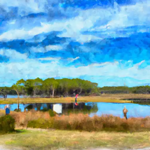
The Hatbill Road 201 boat ramp is located in Christmas, Florida at 28.60584068 latitude and -80.96217346 longitude. This boat ramp is owned and operated by the St. Johns River Water Management District.
According to the St. Johns River Water Management District website, this boat ramp is a single-lane concrete ramp with a gravel parking area. It is 14 feet wide and has a length of 75 feet. The parking area can accommodate approximately 25 vehicles and trailers.
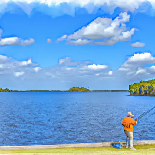
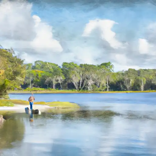
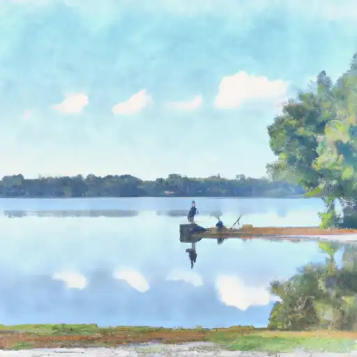
The Hatbill Road 201 boat ramp services the St. Johns River, which is a large waterway in Florida that spans over 310 miles from Indian River County to Jacksonville. The St. Johns River is known for its diverse fishery, including largemouth bass, crappie, catfish, and sunfish.
All types of watercraft are permitted on the St. Johns River, including boats, canoes, kayaks, and paddleboards. However, it is important to note that some sections of the river may have speed restrictions or other regulations that boaters should be aware of before launching.
The information provided is accurate as of October 2021. Users are advised to check for any updates or changes in regulations before visiting the Hatbill Road 201 boat ramp.
Discharge | Stage | Elevation | |
ST. JOHNS RIVER AT ASTOR
2024-12-18T01:30:00.000-05:00 |
4400cfs | 1.89ft | 1ft |
BLACKWATER CREEK NEAR CASSIA
2024-12-18T02:15:00.000-05:00 |
68cfs | 7.13ft | 29ft |
ST. JOHNS RIVER NR SANFORD
2024-12-18T01:30:00.000-05:00 |
2850cfs | 2.8ft | 3ft |
ST. JOHNS RIVER NR DELAND
2024-12-18T02:30:00.000-05:00 |
4260cfs | 2.29ft | 18ft |
HALIFAX CANAL NR HARBOR OAKS
2013-11-05T16:18:00.000-05:00 |
45cfs | 0.00ft | 1ft |
SPRUCE CREEK NR SAMSULA
2024-12-18T02:30:00.000-05:00 |
9cfs | 2.68ft | 8ft |
REED CANAL AT SOUTH DAYTONA
2013-09-30T23:45:00.000-05:00 |
35cfs | 1.45ft | 11ft |
Camping Area | Reservations | Toilets | Showers |
---|---|---|---|
Sebastian Inlet State Park | |||
Kissimmee Prairie State Park | |||
Avon Park AF Range Military | |||
Donald MacDonald Campgrounds | |||
Savannas Recreational Park | |||
Lake Kissimmee State Park |