Impact Road Clay County Boat Launch
Community Reviews
Been here? Share the conditions.
Reviews, ratings & photos are added in the free Snoflo iOS app — rate a spot, tag the conditions, and your visit is verified by location. Add or manage your reviews from the app.
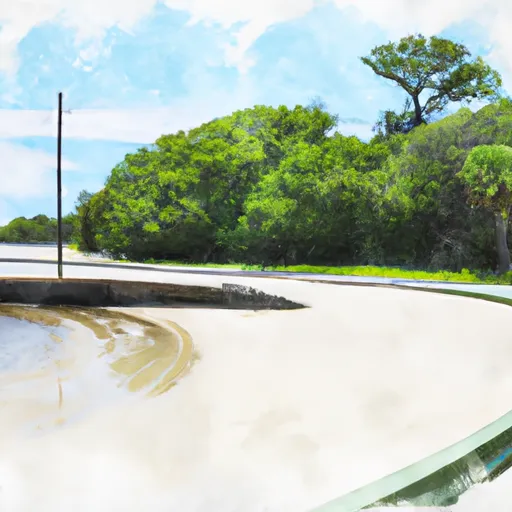
Impact Road Clay County
However, I can provide information on the general types of boat ramps in Florida. The Florida Fish and Wildlife Conservation Commission (FWC) manages over 1,000 public boat ramps in Florida. These ramps can vary in size, shape, and amenities, but generally fall into three categories: freshwater, saltwater, and mixed-use. Freshwater boat ramps provide access to lakes, rivers, and other inland waterways, while saltwater ramps provide access to the ocean, bays, and estuaries. Mixed-use ramps allow access to both freshwater and saltwater bodies of water.
Florida law requires all motorized boats to be registered and display a valid registration decal. Additionally, boats must have the required safety equipment on board and follow all state boating laws and regulations. Some waterways may have specific restrictions or regulations, such as speed limits, no-wake zones, or specific fishing regulations. It is important to check with the FWC or local authorities for any specific regulations or restrictions before boating in a new area.
Plan your launch down to the hour
Same weather feed Snoflo's iOS app uses -- updated continuously from NOAA / yr.no.
Next 5 days, hour by hour
Temperature line with weather symbols on top, snow + rain accumulation as columns, humidity as a dotted line.
5-day forecast table
Every 3 hours, broken out across temperature, snow, rain, humidity, and wind.
| Time | Condition | Temp (°F) | Snow (in) | Rain (in) | Humidity (%) | Wind (mps) | Wind dir |
|---|---|---|---|---|---|---|---|
| Loading detailed forecast… | |||||||
15-day temperature & precipitation
Daily temperatures, snow, and rain projected over the next two weeks.
Area streamflow levels
USGS streamgauges around Impact Road Clay County -- the same readings that determine whether your launch is safe and your boat is the right craft.
| Streamgauge | Discharge | View |
|---|---|---|
| Santa Fe River Near Graham | 0 cfs | → |
| South Fork Black Creek Nr Penney Farms | 11 cfs | → |
| New River Nr Lake Butler Fla | 1 cfs | → |
| North Fork Black Creek Nr Middleburg | 12 cfs | → |
| Orange Creek At Orange Springs | 6 cfs | → |
| Santa Fe River At Worthington Springs | 0 cfs | → |
Plan a longer trip
The closest paddle runs, fishing spots, and other boat launches so you can extend a day on the water.
Boating safety & etiquette
- Check the conditions before you launch
- Use the streamflow numbers, weather, and wind forecast on this page. High-cfs whitewater requires whitewater-specific craft and skill.
- Wear your life jacket
- Statistically the single biggest survival factor in a boating incident. State law often requires one per passenger.
- File a float plan
- Tell someone on shore your put-in, take-out, and expected return time. Especially for multi-day or remote trips.
- Yield at the ramp
- Prep gear in the parking lot, not on the ramp. Launch and clear quickly so others can use the lane.
- Clean, drain, dry
- Inspect, clean, drain and dry your boat between waters to prevent the spread of aquatic invasive species.
Set push alerts in the Snoflo app
Save Impact Road Clay County as a favorite, set a discharge threshold or a wind/precipitation alert, and the iOS app will push the moment conditions cross.
About Impact Road Clay County
Can I launch a motorboat here?
Most Snoflo-tracked launches support motorboats; check the operator for any horsepower restrictions, paddle-only zones, or seasonal closures.
How fresh is the streamflow data?
USGS streamgauges report continuously (every 15 minutes); the table on this page pulls the latest reading at page load.
Is there a fee?
Many federal and state boat launches charge a day-use fee. Check the operator's site before driving out.
What boat is right for these conditions?
Use the nearby streamflow numbers and river-run panel on this page to gauge current conditions. Wider, slower water is friendly for casual paddling and powerboats; high-cfs whitewater requires whitewater-specific craft and skill.
Can I get alerts when conditions change?
Yes -- alerts are managed in the Snoflo iOS app. Favorite this launch, set a threshold (discharge, wind), and you'll get a push the moment it crosses.
Other launches near here
Snoflo-tracked boat launches within driving distance of Impact Road Clay County.