Summary
It provides access to a canal system that leads out to the Caloosahatchee River, which then connects to the Gulf of Mexico. The boat ramp is approximately 12 feet wide, making it suitable for small to medium-sized vessels.
As a public boat ramp, it permits various types of watercraft, including powerboats, sailboats, kayaks, and canoes. However, it's important to note that there may be restrictions on the size and horsepower of motors allowed on the water, as well as regulations regarding fishing and other recreational activities. Boaters should always check with local authorities and review any posted signage before launching from this ramp or using the surrounding waterways.
°F
°F
mph
Wind
%
Humidity

 Northeast 33rd Lane 1708, Cape Coral
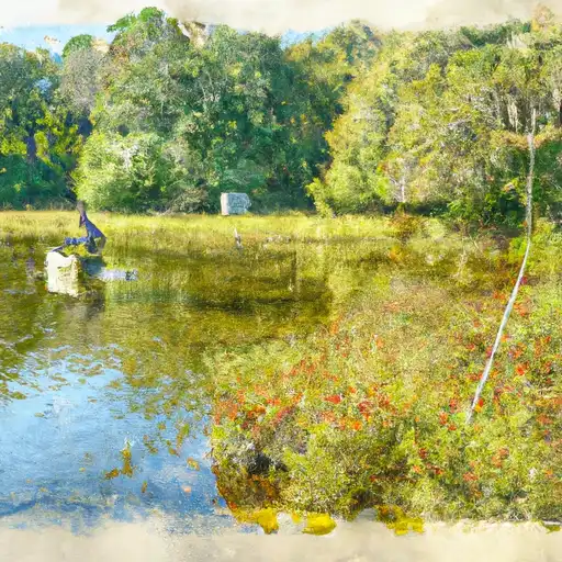 Lake Adelaide
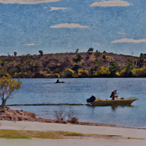 Apache Lake
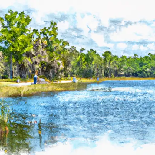 Killarney Lake
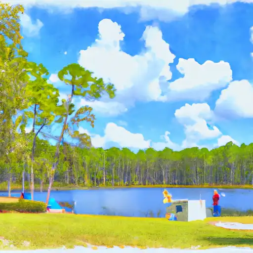 Webb Lake
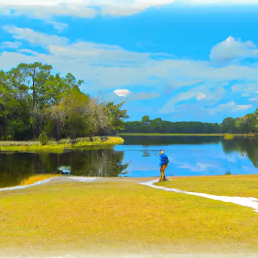 Marl Pond 1