Summary
Based on the latest information available, the Cache Bar Boat Ramp is a concrete boat ramp located in the state of Idaho, United States. It is situated at latitude 45.31880569 and longitude -114.63705444, near the Cache Bar Recreation Site and the Selway River.
This boat ramp is relatively wide, with a span of about 30 feet, allowing for easy loading and unloading of watercraft. It is also equipped with a floating dock to aid in the launching and retrieval of boats.
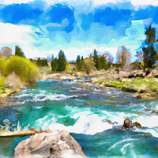
The Cache Bar Boat Ramp services the Selway River, which is known for its pristine waters and challenging rapids, making it a popular destination for whitewater enthusiasts. The Selway River is a tributary of the Middle Fork of the Clearwater River, and is located in the Selway-Bitterroot Wilderness area.
The kind of craft that are permitted on the Selway River varies, depending on the water levels and the conditions. Generally, rafts, kayaks, canoes, and inflatable boats are the most common types of watercraft used on the river. However, power boats are not recommended due to the swift currents and shallow waters.
In conclusion, the Cache Bar Boat Ramp is a well-maintained concrete boat ramp located in Idaho, USA. It services the Selway River, which is a popular destination for whitewater enthusiasts. The boat ramp is wide and equipped with a floating dock to aid in launching and retrieving boats. Rafts, kayaks, canoes, and inflatable boats are the most common types of watercraft permitted on the river.
°F
°F
mph
Wind
%
Humidity

 Cache Bar Boat Ramp
 Corn Creek to Vinegar Creek/Carey Creek (Main Salmon)
 Headwaters To Confluence With Salmon River