Summary
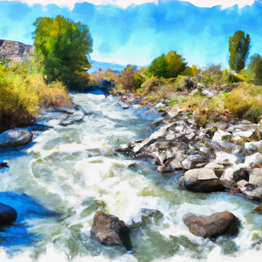
According to the Idaho Department of Parks and Recreation, this boat ramp provides access to the South Fork of the Boise River.
The boat ramp is considered a floatboat access, which means it is designed specifically for launching and retrieving inflatable rafts and other small watercraft. The ramp is reportedly 20 feet wide and has a gentle slope to allow for easy launching and retrieving of boats.
As for the types of boats allowed on the South Fork of the Boise River, the area is primarily used for floating and rafting trips. Inflatable rafts, kayaks, canoes, and paddleboards are all permitted on the water. Motorized boats are not allowed on this section of the river.
It is important to note that water conditions and regulations can change, so it is always best to check with local authorities or park rangers for the most up-to-date information before planning a trip to Danskin Floatboat Access.
°F
°F
mph
Wind
%
Humidity

 Danskin Floatboat Access
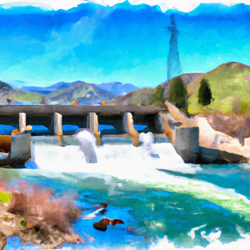
 Anderson Ranch Dam To Confluence With Mennecke Creek
 Mennecke Creek To Confluence With Trail Creek