Mississippi River -- Bertom Lake -- Access Boat Launch
Community Reviews
Been here? Share the conditions.
Reviews, ratings & photos are added in the free Snoflo iOS app — rate a spot, tag the conditions, and your visit is verified by location. Add or manage your reviews from the app.
Mississippi River -- Bertom Lake -- Access
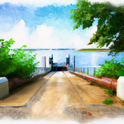
The boat ramp located at latitude 42.68876648 and longitude -90.9048233 appears to be the Massey Marina boat ramp located on the Mississippi River in Dubuque, Iowa. According to the Dubuque County Conservation Board, this boat ramp is concrete and 28 feet wide, with a maximum water depth of 10 feet. It is capable of accommodating larger boats and trailers.
The Massey Marina boat ramp provides access to the Mississippi River, which is a major waterway that stretches over 2,300 miles from its headwaters in Minnesota to the Gulf of Mexico. The Mississippi River is open to a variety of watercraft, including powerboats, sailboats, and personal watercraft.
In summary, based on the available information, the boat ramp located at latitude 42.68876648 and longitude -90.9048233 is the Massey Marina boat ramp in Dubuque, Iowa. It is a 28-foot wide concrete boat ramp that services the Mississippi River and is capable of accommodating larger boats and trailers. The Mississippi River is open to a variety of watercraft, including powerboats, sailboats, and personal watercraft.
Plan your launch down to the hour
Same weather feed Snoflo's iOS app uses -- updated continuously from NOAA / yr.no.
Next 5 days, hour by hour
Temperature line with weather symbols on top, snow + rain accumulation as columns, humidity as a dotted line.
5-day forecast table
Every 3 hours, broken out across temperature, snow, rain, humidity, and wind.
| Time | Condition | Temp (°F) | Snow (in) | Rain (in) | Humidity (%) | Wind (mps) | Wind dir |
|---|---|---|---|---|---|---|---|
| Loading detailed forecast… | |||||||
15-day temperature & precipitation
Daily temperatures, snow, and rain projected over the next two weeks.
Area streamflow levels
USGS streamgauges around Mississippi River -- Bertom Lake -- Access -- the same readings that determine whether your launch is safe and your boat is the right craft.
| Streamgauge | Discharge | View |
|---|---|---|
| Grant River At Burton | 253 cfs | → |
| Platte River Near Rockville | 141 cfs | → |
| Turkey River At Garber | 953 cfs | → |
| Volga River At Littleport | 221 cfs | → |
| Sinsinawa River Near Menominee | 34 cfs | → |
| Mississippi River At Mcgregor | 21,700 cfs | → |
Plan a longer trip
The closest paddle runs, fishing spots, and other boat launches so you can extend a day on the water.
Boating safety & etiquette
- Check the conditions before you launch
- Use the streamflow numbers, weather, and wind forecast on this page. High-cfs whitewater requires whitewater-specific craft and skill.
- Wear your life jacket
- Statistically the single biggest survival factor in a boating incident. State law often requires one per passenger.
- File a float plan
- Tell someone on shore your put-in, take-out, and expected return time. Especially for multi-day or remote trips.
- Yield at the ramp
- Prep gear in the parking lot, not on the ramp. Launch and clear quickly so others can use the lane.
- Clean, drain, dry
- Inspect, clean, drain and dry your boat between waters to prevent the spread of aquatic invasive species.
Set push alerts in the Snoflo app
Save Mississippi River -- Bertom Lake -- Access as a favorite, set a discharge threshold or a wind/precipitation alert, and the iOS app will push the moment conditions cross.
About Mississippi River -- Bertom Lake -- Access
Can I launch a motorboat here?
Most Snoflo-tracked launches support motorboats; check the operator for any horsepower restrictions, paddle-only zones, or seasonal closures.
How fresh is the streamflow data?
USGS streamgauges report continuously (every 15 minutes); the table on this page pulls the latest reading at page load.
Is there a fee?
Many federal and state boat launches charge a day-use fee. Check the operator's site before driving out.
What boat is right for these conditions?
Use the nearby streamflow numbers and river-run panel on this page to gauge current conditions. Wider, slower water is friendly for casual paddling and powerboats; high-cfs whitewater requires whitewater-specific craft and skill.
Can I get alerts when conditions change?
Yes -- alerts are managed in the Snoflo iOS app. Favorite this launch, set a threshold (discharge, wind), and you'll get a push the moment it crosses.
Other launches near here
Snoflo-tracked boat launches within driving distance of Mississippi River -- Bertom Lake -- Access.