Summary
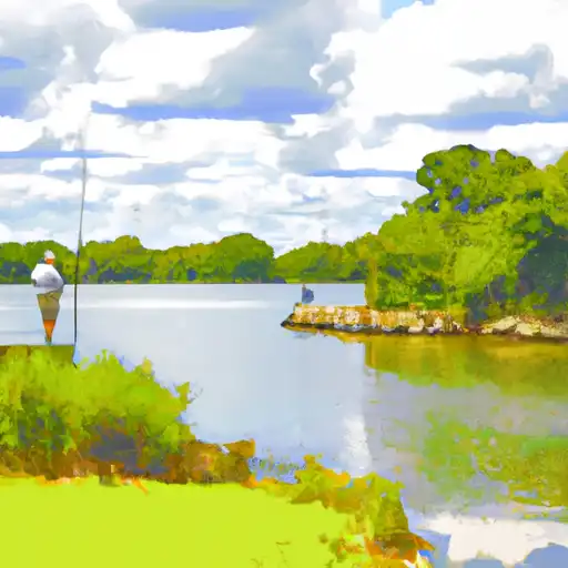
It is a concrete boat ramp that is approximately 10 feet wide, with a moderate slope. The ramp is situated on the eastern side of the river, near Upper Ferry Bridge.
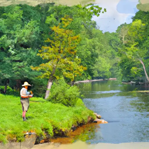
The Nanticoke River is a tidal river that flows into the Chesapeake Bay and is popular for recreational activities such as boating, fishing, and kayaking. The Bestpitch Ferry Road boat ramp is suitable for a variety of watercraft, including motorized boats, canoes, and kayaks.
According to the Maryland Department of Natural Resources, the Bestpitch Ferry Road boat ramp is open year-round from dawn to dusk and requires a valid Chesapeake Bay and Coastal Sport Fishing License or Boat Ramp Certificate. Fees may also apply for launching and parking.
Overall, the Bestpitch Ferry Road boat ramp provides convenient access to the Nanticoke River for boaters and anglers in Dorchester County, Maryland.
°F
°F
mph
Wind
%
Humidity

 Bestpitch Ferry Road Dorchester County
 Island Creek
 Langrells Creek
 Wetipquin Creek