Summary
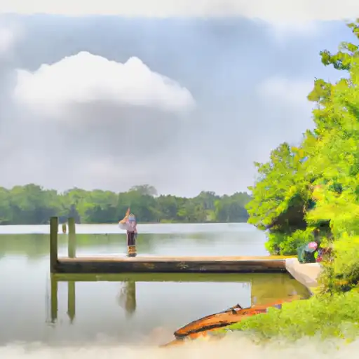
It is a public boat ramp that provides access to the Chesapeake Bay.
According to the Maryland Department of Natural Resources, the Goose Creek Lane boat ramp is a single-lane concrete ramp that is approximately 16 feet wide. It also has a floating dock for loading and unloading boats.
The body of water that the Goose Creek Lane boat ramp services is the Chesapeake Bay, which is the largest estuary in the United States. The bay is known for its rich biodiversity and is home to many species of fish, crabs, and oysters.
As for the kind of craft permitted on the water, the Maryland Department of Natural Resources states that the Goose Creek Lane boat ramp is suitable for launching boats of various sizes, including small fishing boats, kayaks, and canoes. However, there may be restrictions on the size and type of watercraft allowed on the Chesapeake Bay depending on weather and other conditions. It is recommended that boaters check with local authorities and adhere to all relevant regulations and safety guidelines when using the ramp and navigating the water.
°F
°F
mph
Wind
%
Humidity

 Goose Creek Lane Somerset County
 Dames Quarter Creek
 Webster Cove
 Wesley Branch
 Wetipquin Creek