Summary
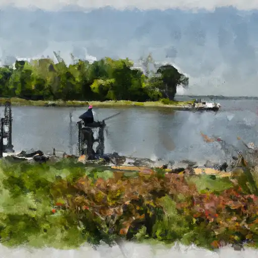
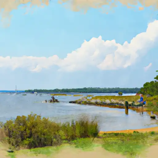
It is a concrete ramp that provides easy access to the water. The ramp is approximately 18 feet wide, making it suitable for small to medium-sized boats. The boat ramp services the Patuxent River, which flows into the Chesapeake Bay.
According to the Maryland Department of Natural Resources, the Magruders Ferry Road boat ramp is suitable for launching boats, canoes, and kayaks. Boats with motors up to 25 horsepower are permitted on the Patuxent River. However, it is important to note that regulations may change, so it is always best to check with the local authorities for the latest information.
Overall, the Magruders Ferry Road boat ramp is a popular location for boaters and anglers who want to access the Patuxent River. It provides easy access to the water and is suitable for a variety of watercraft.
°F
°F
mph
Wind
%
Humidity

 Magruders Ferry Road 17901, Brandywine
 Hutchins Pond
 Hughesville Pond
 Hallowing Point
 Herring Bay