Carmen Diversion Launch Ramp Boat Launch
Community Reviews
Been here? Share the conditions.
Reviews, ratings & photos are added in the free Snoflo iOS app — rate a spot, tag the conditions, and your visit is verified by location. Add or manage your reviews from the app.
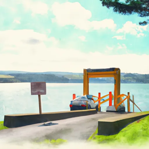
Carmen Diversion Launch Ramp
The Carmen Diversion Launch Ramp is a single-lane boat ramp that is approximately 20 feet wide, making it suitable for smaller watercraft. This boat ramp is open to the public and provides easy access to the South Santiam River, which is a popular destination for boating, fishing, and other recreational activities.
As for the type of craft permitted on the water, the South Santiam River is suitable for a variety of watercraft, including kayaks, canoes, rafts, pontoon boats, and small motorboats. However, the river has some rapids and swift currents in some sections, so it's important for boaters to be aware of the water conditions and take appropriate safety precautions.
Overall, the Carmen Diversion Launch Ramp provides a convenient access point for boaters and other water enthusiasts looking to enjoy the beautiful scenery and recreational opportunities of the South Santiam River in Oregon. This information was gathered from various sources, including official Oregon government websites and boating guides.
Plan your launch down to the hour
Same weather feed Snoflo's iOS app uses -- updated continuously from NOAA / yr.no.
Next 5 days, hour by hour
Temperature line with weather symbols on top, snow + rain accumulation as columns, humidity as a dotted line.
5-day forecast table
Every 3 hours, broken out across temperature, snow, rain, humidity, and wind.
| Time | Condition | Temp (°F) | Snow (in) | Rain (in) | Humidity (%) | Wind (mps) | Wind dir |
|---|---|---|---|---|---|---|---|
| Loading detailed forecast… | |||||||
15-day temperature & precipitation
Daily temperatures, snow, and rain projected over the next two weeks.
Area streamflow levels
USGS streamgauges around Carmen Diversion Launch Ramp -- the same readings that determine whether your launch is safe and your boat is the right craft.
| Streamgauge | Discharge | View |
|---|---|---|
| Mckenzie River At Outlet Of Clear Lake | 169 cfs | → |
| Smith R Ab Smith R Res Nr Belknap Sprgs | 5 cfs | → |
| Mckenzie River Bl Payne Cr | 171 cfs | → |
| Smith River Abv Trail Brdg Resv Nr Belknap Springs | 6 cfs | → |
| Mckenzie R Blw Trail Br Dam Nr Belknap Springs | 634 cfs | → |
| Lookout Creek Near Blue River | 16 cfs | → |
Plan a longer trip
The closest paddle runs, fishing spots, and other boat launches so you can extend a day on the water.
River runs
- Headwaters To Blue River Reservoir
- Headwaters Of Sevenmile Creek To Confluence With Latiwi Creek
- Mt. Jefferson Wilderness Boundary To Highway 22
- Headwaters To Mt Jefferson Wilderness Boundary
- West Section Line Of Sec 31, T12s, R6e To Middle Santiam Wilderness Boundary
- Middle Santiam River
Boating safety & etiquette
- Check the conditions before you launch
- Use the streamflow numbers, weather, and wind forecast on this page. High-cfs whitewater requires whitewater-specific craft and skill.
- Wear your life jacket
- Statistically the single biggest survival factor in a boating incident. State law often requires one per passenger.
- File a float plan
- Tell someone on shore your put-in, take-out, and expected return time. Especially for multi-day or remote trips.
- Yield at the ramp
- Prep gear in the parking lot, not on the ramp. Launch and clear quickly so others can use the lane.
- Clean, drain, dry
- Inspect, clean, drain and dry your boat between waters to prevent the spread of aquatic invasive species.
Set push alerts in the Snoflo app
Save Carmen Diversion Launch Ramp as a favorite, set a discharge threshold or a wind/precipitation alert, and the iOS app will push the moment conditions cross.
About Carmen Diversion Launch Ramp
Can I launch a motorboat here?
Most Snoflo-tracked launches support motorboats; check the operator for any horsepower restrictions, paddle-only zones, or seasonal closures.
How fresh is the streamflow data?
USGS streamgauges report continuously (every 15 minutes); the table on this page pulls the latest reading at page load.
Is there a fee?
Many federal and state boat launches charge a day-use fee. Check the operator's site before driving out.
What boat is right for these conditions?
Use the nearby streamflow numbers and river-run panel on this page to gauge current conditions. Wider, slower water is friendly for casual paddling and powerboats; high-cfs whitewater requires whitewater-specific craft and skill.
Can I get alerts when conditions change?
Yes -- alerts are managed in the Snoflo iOS app. Favorite this launch, set a threshold (discharge, wind), and you'll get a push the moment it crosses.
Other launches near here
Snoflo-tracked boat launches within driving distance of Carmen Diversion Launch Ramp.