

Summary
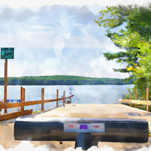
It provides access to Center Pond, a small body of water located in the southwestern part of the state. The pond is primarily used for recreational activities such as fishing, boating, and swimming, and only allows non-motorized boats such as canoes, kayaks, and paddleboards. The latitude and longitude coordinates for the boat launch are 42.98900986 and -72.13451385, respectively. It should be noted that regulations and restrictions may change, so it is always best to verify information with local authorities before planning a trip to the area.
 Center Pond boat launch
 First Bridge Upstream On Route 100 To Confluence With West River
 Headwaters To First Bridge Upstream On Route 100
 Sewall'S Island To Manchester Street Bridge
 Headwaters To Confluence With West River (End Of Sherman Road)