Summary
The ideal streamflow range for this run is between 500-1500 cfs, providing Class II-III rapids. The segment mileage is approximately 3.5 miles and is known for its scenic views and thrilling rapids, including "Zoom Flume," "Pinball," and "Washing Machine."
There are specific regulations in place for this area, including a mandatory life jacket requirement for all participants and a prohibition against alcohol consumption on the river. Additionally, there are designated put-in and take-out locations that must be used to access the river.
It is important to note that the Whitewater River Run can be dangerous for inexperienced or unprepared individuals. It is recommended that participants have previous whitewater experience and proper equipment, including helmets and appropriate footwear.
Overall, the Whitewater River Run from Sewall's Island to Manchester Street Bridge is a challenging and exciting adventure for experienced whitewater enthusiasts. It is important to follow all regulations and safety guidelines to ensure a safe and enjoyable experience.
°F
°F
mph
Wind
%
Humidity
15-Day Weather Outlook
River Run Details
| Last Updated | 2022-09-30 |
| River Levels | 22 cfs (3.61 ft) |
| Percent of Normal | 23% |
| Status | |
| Class Level | ii-iii |
| Elevation | ft |
| Run Length | 8.0 Mi |
| Streamflow Discharge | cfs |
| Gauge Height | ft |
| Reporting Streamgage | USGS 01089100 |


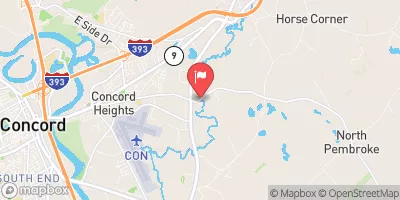
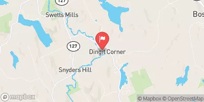
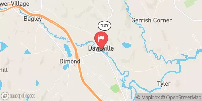
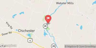
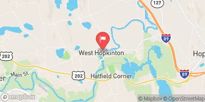
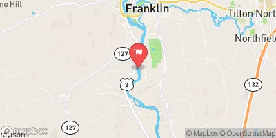
 Turtle Pond boat launch
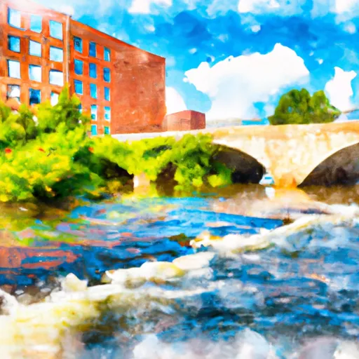 Sewall'S Island To Manchester Street Bridge
 Rolfe Park
 Walker State Forest
 Grappone Park
 Keach Park
 Hirst Marsh Wildlife Management Area