United States Minnesota

Lost Lake

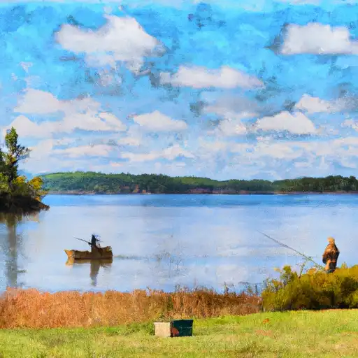
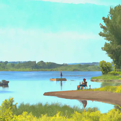
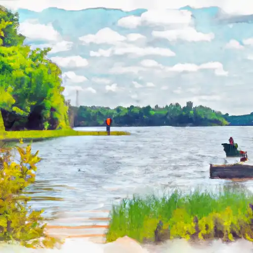
Based on the latest available information, Lost Lake boat ramp is located at latitude 47.68618774 and longitude -93.40177917 in Minnesota. It is a concrete boat ramp that is reportedly 16 feet wide and suitable for small to medium-sized watercraft. Lost Lake boat ramp provides access to Lost Lake, a small body of water in northern Minnesota.

According to Minnesota Department of Natural Resources, Lost Lake is classified as a Class 22 water body, which means that it is designated for non-motorized watercraft, such as canoes, kayaks, and paddleboards. Fishing is also popular on the lake, with anglers targeting species such as crappie, bluegill, and bass.

It is essential to note that the information provided may change over time, and users should check with the appropriate authorities for the latest updates on Lost Lake boat ramp and the water body it services. Get driving directions.
LOST LAKE

STREAMFLOW LEVELS
Streamgauge Streamflow
Cedar River Near Austin
USGS 05457000
226 cfs
Little Fork River At Littlefork
USGS 05131500
2,070 cfs
Prairie River Near Taconite
USGS 05212700
317 cfs
Crow River At Rockford
USGS 05280000
3,230 cfs
Big Fork River At Big Falls
USGS 05132000
982 cfs
Mississippi River Near Anoka
USGS 05288500
15,700 cfs
Gold Portage Outlet From Kabetogama Lk Nr Ray
USGS 05129290
118 cfs

Nearby Camping
Location Campsites Reservations Toilets Showers Elevation
Bass Lake Numerous 1,445 ft
Itasca County Fairgrounds Numerous 1,302 ft
American Legion Park - Warba Numerous 1,294 ft
Jacobson County Campground 10 1,252 ft
Blue Lake Provincial Park 254 1,263 ft
Father Hennepin State Park 100 1,313 ft
Button Box ? George Washington State Forest 12 1,400 ft
Warba American Legion Numerous 1,294 ft
Snake River City Campground 12 1,257 ft