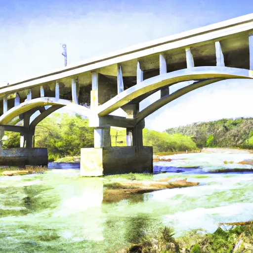
Crawford County Boat Launch Report
Rate this placeLast Updated: February 3, 2026
After conducting research, I was unable to find any specific information on a boat ramp named Crawford County at the provided latitude and longitude coordinates in Missouri.
°F
°F
mph
Wind
%
Humidity
15-Day Weather Outlook
Summary
It is possible that the information provided may be incorrect or outdated.
However, I can provide general information on boat ramps in Missouri. According to the Missouri Department of Conservation, Missouri has over 500 public boat ramps available for use on rivers, lakes, and streams throughout the state. These ramps vary in size and design, with some being concrete, gravel, or dirt.
The width of a boat ramp can also vary depending on the location and intended use. Generally, ramps are wide enough to accommodate a vehicle and trailer, with additional space for maneuvering.
The body of water that a boat ramp services can also vary. Missouri has numerous lakes and rivers, including Table Rock Lake, Lake of the Ozarks, and the Missouri River. Each body of water may have its own regulations and restrictions on the type of craft permitted, such as speed limits, size restrictions, and wake zones.
Overall, it is important to research and adhere to the specific regulations and guidelines for each boat ramp and body of water, as well as to ensure that any information provided is accurate and up-to-date.
Nearby Boat Launches
Hourly Weather Forecast
Area Streamflow Levels
| MERAMEC RIVER NEAR STEELVILLE | 135cfs |
| MERAMEC RIVER NEAR SULLIVAN | 339cfs |
| MERAMEC RIVER AT COOK STATION | 24cfs |
| BOURBEUSE RIVER NEAR HIGH GATE | 10cfs |
| BIG RIVER NEAR RICHWOODS | 118cfs |
| BOURBEUSE RIVER AT UNION | 62cfs |

 Crawford County
 State Highway 49 Bridge Near Dillard, Missouri To Forest Boundary In Sections 13/24, T38N, R3W