Summary
According to the latest information available, the ramp is 14 feet wide, which allows for easy boat launching and retrieval.
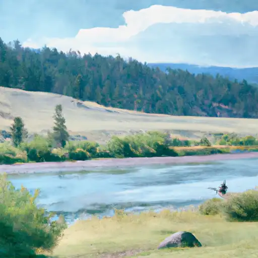
This boat ramp services the Yellowstone River, which is a popular spot for recreational activities such as boating, fishing, and tubing. The Yellowstone River is the longest undammed river in the United States, and it runs through Wyoming, Montana, and North Dakota.
As per the Montana Fish, Wildlife & Parks website, all types of watercraft are allowed on the Yellowstone River, including motorboats, canoes, kayaks, and rafts. However, boats with motors exceeding 10 horsepower are not allowed on the river during the winter months.
In summary, the Greycliff Bridge Sweet Grass County boat ramp is a concrete ramp that is 14 feet wide, and it services the Yellowstone River in Montana. All types of watercraft, including motorboats, are allowed on the river.

 Greycliff Bridge Sweet Grass County
 Bratten Fishing Access
 Big Timber Creek
 Indian Fort