Summary
However, it is not specifically named Montana Highway 84. Instead, it is commonly referred to as the Varney Bridge Fishing Access Site.
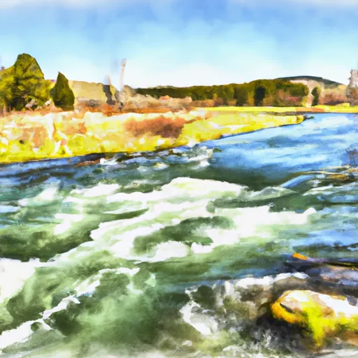
According to the Montana Fish, Wildlife & Parks website, the Varney Bridge Fishing Access Site provides access to the Madison River, a popular destination for fishing and boating. The boat ramp is described as "concrete, with a gentle slope," suggesting that it is likely a modern and well-maintained facility. Additionally, the site is equipped with a restroom, picnic tables, and a trash receptacle.
While specific width information was not readily available, photographs of the boat ramp suggest that it is of sufficient size to accommodate a variety of watercraft. The Madison River is a relatively large body of water, and it is likely that boats of various sizes are permitted to operate on it. However, it is always important to comply with any posted regulations or restrictions in order to ensure the safety of all water users.
To verify the accuracy of this information, it is recommended to check with local authorities or visit the Montana Fish, Wildlife & Parks website for the most up-to-date information.
°F
°F
mph
Wind
%
Humidity

 Montana Highway 84 Madison County
 WARM SPRINGS DAY USE
 CANADAY BOAT LAUNCH
 POWER HOUSE BOAT LAUNCH
 Madison River