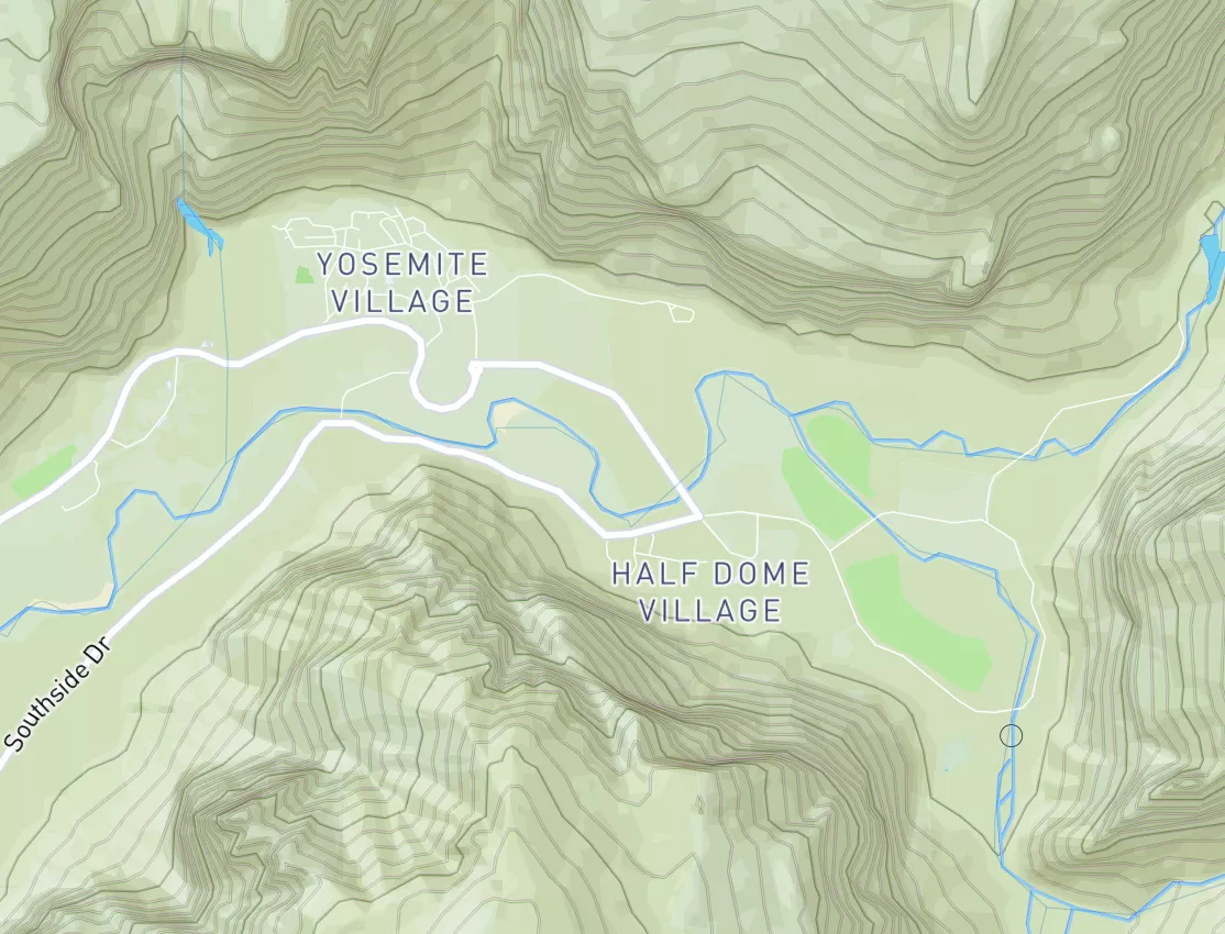

National Forest Development Road 012 Whatcom County Boat Launch Report
Last Updated: April 28, 2026
Leave a Rating°F
°F
mph
Wind
%
Humidity
Get the latest Boat Launch Report, Ramp Details, and Weather Forecast for National Forest Development Road 012 Whatcom County in Washington. Washington Ramp Details and Weather Forecast
Summary
15-Day Long Term Forecast
5-Day Hourly Forecast Detail
Area Streamflow Levels
| SKAGIT RIVER NEAR CONCRETE | 10500cfs |
| BACON CREEK BELOW OAKES CREEK NEAR MARBLEMOUNT | 346cfs |
| SKAGIT RIVER AT MARBLEMOUNT | 4500cfs |
| CASCADE RIVER AT MARBLEMOUNT | 719cfs |
| SAUK RIVER NEAR SAUK | 2880cfs |
| CLEARWATER CREEK NEAR WELCOME | 39cfs |
River Runs
-
 Mt. Baker-Snoqualmie Nf/North Cascades Np Boundary To Baker Lake
-
 Blum Creek To Baker Lake
-
 Mt. Baker-Snoqualmie Nf/North Cascades Np Boundary To Confluence With Blum Creek
-
 Bell Creek To Mt. Baker-Snoqualmie Nf Boundary
-
 Headwaters To Confluence With Bell Creek
-
 Headwaters In Ne1/4 Of Sec 23, T37N, R7E To Confluence With Soufh Fork Nooksack River

 National Forest Development Road 012 Whatcom County
 Continue with Snoflo Premium