Lakeshore Boulevard , 89452 Nevada boat launch
Community Reviews
Been here? Share the conditions.
Reviews, ratings & photos are added in the free Snoflo iOS app — rate a spot, tag the conditions, and your visit is verified by location. Add or manage your reviews from the app.
Lakeshore Boulevard , 89452 Nevada
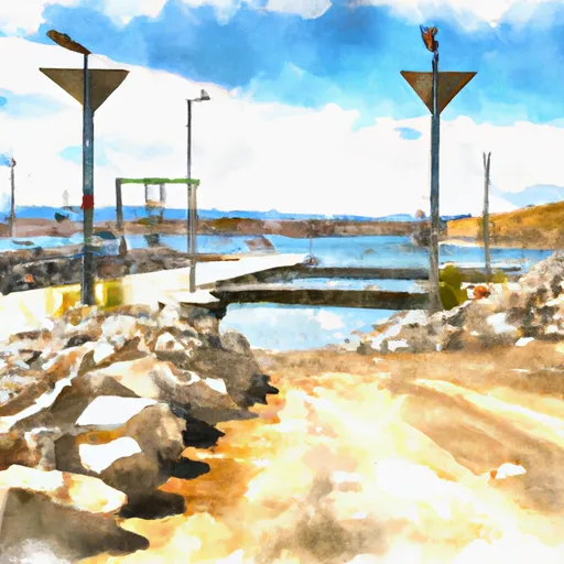
However, there are several boat ramps located in Nevada that may fit the description. One possibility is the Lakeshore Boat Ramp located on Lake Tahoe in Incline Village, Nevada. This boat ramp is operated by the Tahoe Regional Planning Agency and can accommodate boats up to 26 feet in length. It is approximately 20 feet wide and has a steep launch angle.
Lake Tahoe is a large freshwater lake that straddles the border between California and Nevada. The lake is popular for recreational boating, fishing, and water sports. According to the Tahoe Regional Planning Agency, motorized vessels are permitted on the lake with certain restrictions, including a 5 mph speed limit within 600 feet of the shoreline and in certain areas designated as no-wake zones. Personal watercraft are also allowed, but must follow the same regulations as motorized vessels.
It is important to note that regulations and information about boat ramps and waterways can change over time. It is recommended to check with local authorities or the managing agency before heading out on the water.
Plan your launch down to the hour
Same weather feed Snoflo's iOS app uses -- updated continuously from NOAA / yr.no.
Next 5 days, hour by hour
Temperature line with weather symbols on top, snow + rain accumulation as columns, humidity as a dotted line.
5-day forecast table
Every 3 hours, broken out across temperature, snow, rain, humidity, and wind.
| Time | Condition | Temp (°F) | Snow (in) | Rain (in) | Humidity (%) | Wind (mps) | Wind dir |
|---|---|---|---|---|---|---|---|
| Loading detailed forecast… | |||||||
15-day temperature & precipitation
Daily temperatures, snow, and rain projected over the next two weeks.
Area streamflow levels
USGS streamgauges around Lakeshore Boulevard , 89452 Nevada -- the same readings that determine whether your launch is safe and your boat is the right craft.
| Streamgauge | Discharge | View |
|---|---|---|
| Incline Ck Nr Crystal Bay | 4 cfs | → |
| Third Ck Nr Crystal Bay | 3 cfs | → |
| Incline Ck Abv Tyrol Village Nr Incline Village Nv | 7 cfs | → |
| Franktown C Nr Carson City | 1 cfs | → |
| Ash Canyon Ck Nr Carson City | 1 cfs | → |
| Galena C At Galena C State Park | 9 cfs | → |
Plan a longer trip
The closest paddle runs, fishing spots, and other boat launches so you can extend a day on the water.
River runs
- Headwaters To Trailhead
- Tahoe City To River Ranch
- Headwaters Se 1/4 Of Sec 10, T18, R15e To Stampede Reservoir
- Royal Gorge (Soda Springs To Tadpole Creek)
- Hell Hole Dam To Ellicotts Bridge
- 1/4 Mile North Of State Highway 50 To Avalanche Lake
Nearby fishing
Boating safety & etiquette
- Check the conditions before you launch
- Use the streamflow numbers, weather, and wind forecast on this page. High-cfs whitewater requires whitewater-specific craft and skill.
- Wear your life jacket
- Statistically the single biggest survival factor in a boating incident. State law often requires one per passenger.
- File a float plan
- Tell someone on shore your put-in, take-out, and expected return time. Especially for multi-day or remote trips.
- Yield at the ramp
- Prep gear in the parking lot, not on the ramp. Launch and clear quickly so others can use the lane.
- Clean, drain, dry
- Inspect, clean, drain and dry your boat between waters to prevent the spread of aquatic invasive species.
Set push alerts in the Snoflo app
Save Lakeshore Boulevard , 89452 Nevada as a favorite, set a discharge threshold or a wind/precipitation alert, and the iOS app will push the moment conditions cross.
About Lakeshore Boulevard , 89452 Nevada
Can I launch a motorboat here?
Most Snoflo-tracked launches support motorboats; check the operator for any horsepower restrictions, paddle-only zones, or seasonal closures.
How fresh is the streamflow data?
USGS streamgauges report continuously (every 15 minutes); the table on this page pulls the latest reading at page load.
Is there a fee?
Many federal and state boat launches charge a day-use fee. Check the operator's site before driving out.
What boat is right for these conditions?
Use the nearby streamflow numbers and river-run panel on this page to gauge current conditions. Wider, slower water is friendly for casual paddling and powerboats; high-cfs whitewater requires whitewater-specific craft and skill.
Can I get alerts when conditions change?
Yes -- alerts are managed in the Snoflo iOS app. Favorite this launch, set a threshold (discharge, wind), and you'll get a push the moment it crosses.
Other launches near here
Snoflo-tracked boat launches within driving distance of Lakeshore Boulevard , 89452 Nevada.