Summary
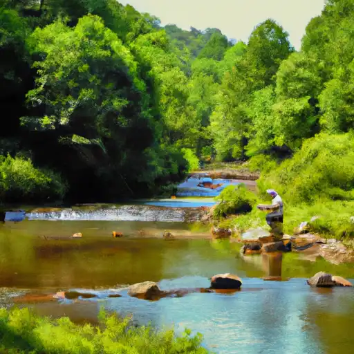
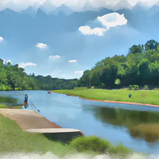
It is approximately 12 feet wide and is suitable for small to medium-sized watercraft such as fishing boats, canoes, and kayaks. The ramp provides access to the Haw River, which is a popular destination for fishing and recreational boating. The precise dimensions and capacity of the ramp may vary depending on the water level and other factors, and it is important for boaters to check local regulations and conditions before launching.
°F
°F
mph
Wind
%
Humidity

 Island Trail Alamance County
 Back Creek
 Beaver Creek
 Big Alamance Creek