Summary
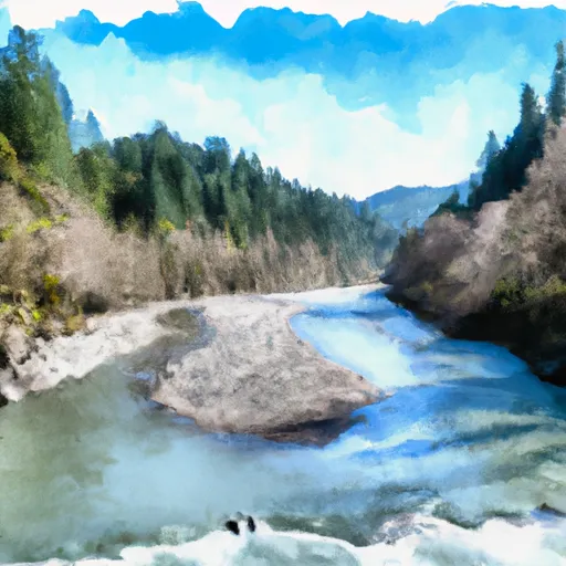
This boat ramp provides access to the Chetco River, which is a popular destination for fishing, boating, and recreational activities.
According to the latest information available, the Quosatana Boat Ramp is a concrete boat ramp that is 12 feet wide and has a 14% grade. This makes it suitable for launching small boats and watercraft such as kayaks, canoes, and small fishing boats.
The Chetco River is a large river that flows through the Siskiyou Mountains and empties into the Pacific Ocean. The river is known for its clear waters, scenic beauty, and diverse fish population. Anglers come to the river to catch salmon, steelhead, and trout, while boaters and paddlers enjoy the scenic beauty and calm waters of the river.
Overall, the Quosatana Boat Ramp is a popular destination for boaters, paddlers, and anglers who want to explore the Chetco River and its surrounding areas. Visitors should always check for the latest information and regulations before visiting the boat ramp to ensure they are following the rules and guidelines set by the local authorities.
°F
°F
mph
Wind
%
Humidity
15-Day Weather Outlook
5-Day Hourly Forecast Detail
Area Streamflow Levels
| ROGUE RIVER NEAR AGNESS | 5030cfs |
| ROGUE RIVER AT HWY 101 BRIDGE | 3580cfs |
| CHETCO RIVER NEAR BROOKINGS | 1520cfs |
| SOUTH FORK COQUILLE RIVER AT POWERS | 634cfs |
| ILLINOIS RIVER NEAR KERBY | 1250cfs |
| WEST FORK COW CREEK NEAR GLENDALE | 261cfs |

 Quosatana Boat Ramp
 Confluence Of East And West Forks Indigo Creek To Confluence With Illinois River
 Silver Falls (Ne1/4 Of Sec 5, T36S, R9W) To Confluence With Illinois River