Summary
It is a concrete ramp that is 30 feet wide and has a gentle slope, making it easy for boaters to launch their vessels. The ramp is in good condition and is regularly maintained by the Oregon Department of Fish and Wildlife.
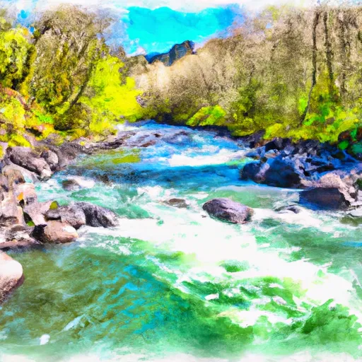
This particular boat ramp services the North Santiam River, which is a popular spot for fishing and recreational boating. The North Santiam River runs for approximately 92 miles, from the Cascade Mountains to the Willamette River. It is known for its clear water and abundant fish populations, including trout, salmon, and steelhead.
The Santiam Rest Area (Old Ramp) boat ramp is suitable for a variety of watercraft, including small boats, kayaks, and canoes. However, due to the shallow waters and narrow channel in some areas of the North Santiam River, larger boats may have difficulty navigating safely. Boaters should always check local water conditions and regulations before launching their vessels.
Overall, the Santiam Rest Area (Old Ramp) boat ramp is a convenient and well-maintained launch site for boaters looking to explore the North Santiam River in Oregon.
°F
°F
mph
Wind
%
Humidity
15-Day Weather Outlook
Nearby Boat Launches
5-Day Hourly Forecast Detail
Area Streamflow Levels
| SANTIAM RIVER AT JEFFERSON | 4520cfs |
| NORTH SANTIAM RIVER NEAR JEFFERSON | 2070cfs |
| WILLAMETTE RIVER AT ALBANY | 8970cfs |
| LUCKIAMUTE RIVER NEAR SUVER | 844cfs |
| THOMAS CREEK NEAR SCIO | 451cfs |
| WILLAMETTE RIVER AT SALEM | 15000cfs |

 Santiam Rest Area (Old Ramp)
 Luckiamute River