°F
°F
mph
Windspeed
%
Humidity


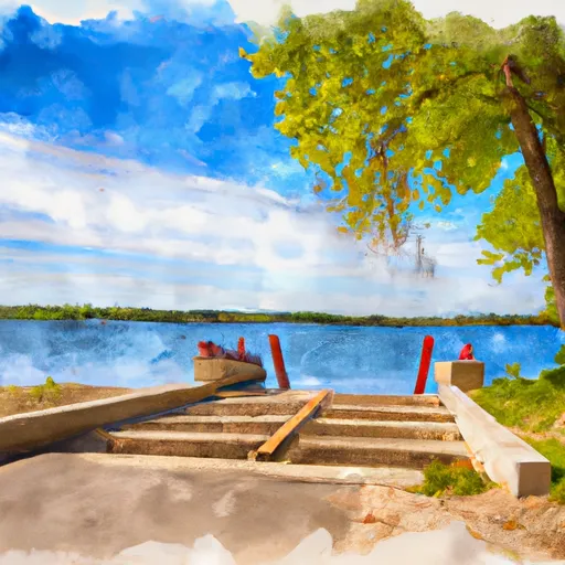
The Memorial Park Boat Ramp located in Wisconsin is a concrete boat ramp that provides access to the Wisconsin River. It is located at latitude 44.94009399 and longitude -89.63140869. The ramp is approximately 20 feet wide and is suitable for launching small to medium-sized boats.
The boat ramp services the Wisconsin River, which is a major waterway in Wisconsin. The river is approximately 430 miles long and stretches from the northern border of the state to the southern border. The river is popular for recreational activities such as fishing, boating, and kayaking.
The boats permitted on the water at the Memorial Park Boat Ramp include motorboats, kayaks, canoes, and other non-motorized watercraft. However, it is important to note that there may be specific regulations and restrictions in place depending on the location and time of year.
The information provided is accurate as of the latest available data. It is always recommended to check for any updates or changes in regulations before using the boat ramp.
Weather Forecast
Nearby Streamflow Levels
| Discharge | Stage | Elevation | |
|
YAHARA RIVER AT MC FARLAND
2024-12-24T02:10:00.000-06:00 |
313cfs | 4.2ft | 846ft |
|
BLACK EARTH CREEK AT BLACK EARTH
2024-12-24T01:00:00.000-06:00 |
57cfs | 2.32ft | 819ft |
|
SPRING CREEK NEAR WAUNAKEE
2024-12-24T01:00:00.000-06:00 |
9cfs | 9.84ft | 861ft |
|
PECATONICA RIVER AT DARLINGTON
2024-12-23T01:00:00.000-06:00 |
263cfs | 3.38ft | 827ft |
|
BREWERY CREEK-UPSTREAM SITE-AT CROSS PLAINS
2024-12-24T01:00:00.000-06:00 |
3cfs | 2.39ft | 917ft |
|
BADGER MILL CREEK AT VERONA
2024-12-24T01:00:00.000-06:00 |
10cfs | 4.37ft | 940ft |
|
PHEASANT BRANCH AT AIRPORT ROAD NR MIDDLETON
2024-12-24T01:00:00.000-06:00 |
5cfs | 4.27ft | 924ft |
Nearby Camping
| Camping Area | Reservations | Toilets | Showers |
|---|---|---|---|
| Buccaneer State Park | |||
| Fontainebleau State Park | |||
| Shields RV Military - Gulfport NCB | |||
| Bayou Segnette State Park | |||
| McLeod Water Park | |||
| Keesler AFB Military |


