Summary
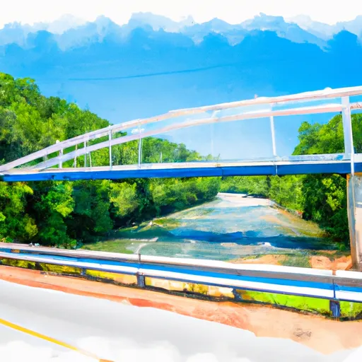
It is a concrete boat ramp that provides access to the Tellico Reservoir, a body of water located in the eastern part of Tennessee. The Tellico Reservoir is a popular destination for boating, fishing, and other water-related activities.
The Indian Boundary Boat Ramp is a two-lane ramp that is approximately 35 feet wide, which is wide enough for most types of boats. The ramp also has a small parking area that can accommodate about ten vehicles and boat trailers. There are no fees or permits required to use the ramp, and it is open year-round, weather permitting.
Regarding the types of craft permitted on the water, the Tellico Reservoir allows all types of boats, including motorized and non-motorized vessels. However, there are some restrictions on the use of personal watercraft (PWC) such as jet skis. PWCs are allowed on the reservoir, but they must comply with certain regulations, such as having a properly functioning cut-off switch, and operators must wear a personal flotation device (PFD) at all times.
In conclusion, the Indian Boundary Boat Ramp in Monroe County, Tennessee, is a concrete two-lane ramp that provides access to the Tellico Reservoir. It is approximately 35 feet wide and can accommodate most types of boats. The reservoir allows all types of watercraft, including motorized and non-motorized vessels, but there are some restrictions on the use of PWCs.
°F
°F
mph
Wind
%
Humidity
15-Day Weather Outlook
5-Day Hourly Forecast Detail
Area Streamflow Levels
| TELLICO RIVER AT TELLICO PLAINS | 276cfs |
| CHEOAH RIVER NR BEARPEN GAP NR TAPOCO | 214cfs |
| VALLEY RIVER AT TOMOTLA | 296cfs |
| LITTLE RIVER ABOVE TOWNSEND | 282cfs |
| LITTLE RIVER NEAR MARYVILLE | 584cfs |
| LITTLE RIVER NEAR ALCOA | 733cfs |

 Indian Boundary Boat Ramp Monroe County
 Headwaters Near Graham County Line To Nc/Tn State Line
 Tn/Nc State Line (Rm 48.0) To Tn360 Bridge (Rm 30.0)