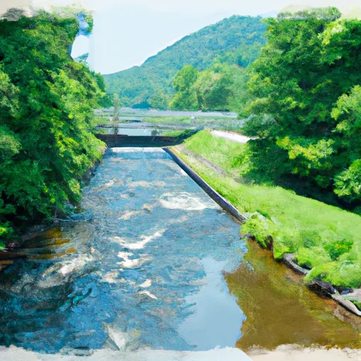
Summary
It is a concrete boat ramp, which is considered to be a popular type of boat ramp among boaters.
The Mitchell County boat ramp is approximately 24 feet wide, providing ample space for boats of various sizes to launch and dock. This boat ramp services the body of water known as the Watauga Lake, which is a large reservoir located in northeastern Tennessee.
According to the Tennessee Wildlife Resources Agency, the Watauga Lake is open to all types of watercraft, including motorized and non-motorized boats. This means that any type of boat such as kayaks, canoes, jet skis, pontoon boats, and motorboats are permitted on the water.
In summary, the boat ramp named Mitchell County in Tennessee is a concrete boat ramp that is approximately 24 feet wide. It services the Watauga Lake, which is open to all types of watercraft.
Nearby Boat Launches
Weather Forecast
Area Streamflow Levels
| NOLICHUCKY RIVER AT EMBREEVILLE | 2020cfs |
| BIG LIMESTONE CREEK NEAR LIMESTONE | 129cfs |
| SOUTH TOE RIVER NEAR CELO | 270cfs |
| DOE RIVER AT ELIZABETHTON | 293cfs |
| WATAUGA RIVER AT ELIZABETHTON | 778cfs |
| IVY RIVER NEAR MARSHALL | 385cfs |

 Mitchell County
 Boundary Between Mitchell And Yancy Counties To Nc/Tn Stateline
 Tn/Nc State Line (Rm 100.6) To Mine Branch (Rm 99.3)