42 1/2 Avenue Northwest Mercer County
Boat Launch Report
Last Updated:
May 4, 2026
Leave a Rating
°F
°F
mph
Wind
%
Humidity
Get the latest Boat Launch Report, Ramp Details, and Weather Forecast for
42 1/2 Avenue Northwest Mercer County in
North-Dakota.
North-Dakota
Ramp Details
and
Weather Forecast


 42 1/2 Avenue Northwest Mercer County
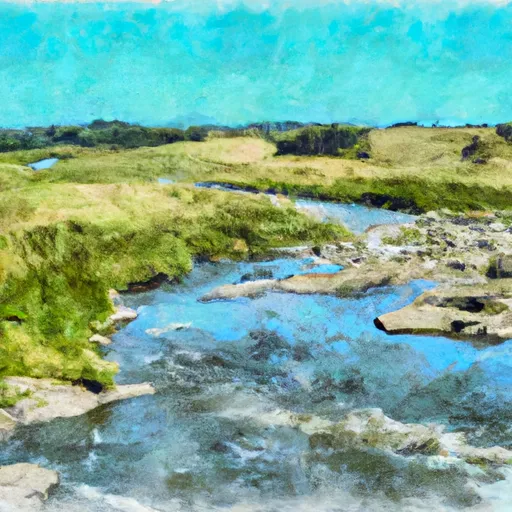 Northern Boundary Of Knife River Indian Villages National Historic Site To Southern Boundary Of Knife River Indian Villages National Historic Site