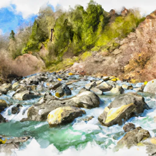
Summary
It is approximately 10 feet wide and has a gentle slope. The boat ramp services the Snohomish River, which flows into the Puget Sound.
The body of water is suitable for small to medium-sized craft including kayaks, canoes, jet skis, and motorboats. However, there are restrictions on the size and speed of the boats that are allowed on the water.
In terms of amenities, there is a large parking area adjacent to the boat ramp, which can accommodate trailers and vehicles. There are no fees to launch a boat or park at the facility.
Overall, the 57th Street Northeast Marysville boat ramp is a convenient and accessible option for those looking to launch their boats into the Snohomish River in Washington.
°F
°F
mph
Wind
%
Humidity

 57th Street Northeast Marysville
 Headwaters In Ne1/4 Of Sec 14, T29N, R10E To Confluence With Canyon Creek
 Canyon Creek To Confluence With North Fork Stillaguamish River