Dutch Hollow Lake -- Access Nr Auble Landing Rd boat launch
Community Reviews
Been here? Share the conditions.
Reviews, ratings & photos are added in the free Snoflo iOS app — rate a spot, tag the conditions, and your visit is verified by location. Add or manage your reviews from the app.
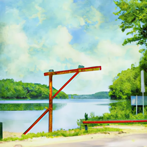
Dutch Hollow Lake -- Access Nr Auble Landing Rd
Dutch Hollow Lake is a man-made lake that covers an area of 200 acres and has a maximum depth of 40 feet. It is located in the town of La Valle in Sauk County, Wisconsin. The lake is primarily used for fishing, boating, and swimming. The lake allows motorized boats, but there are restrictions on the size of motors allowed.
According to the latest information available, the boat ramp at Dutch Hollow Lake- Access Nr Auble Landing Rd is open to the public and free to use. The ramp is well-maintained and provides easy access to the lake for small to medium-sized boats. Visitors are advised to follow all regulations and guidelines set by the Wisconsin Department of Natural Resources to ensure the safety of all users.
Plan your launch down to the hour
Same weather feed Snoflo's iOS app uses -- updated continuously from NOAA / yr.no.
Next 5 days, hour by hour
Temperature line with weather symbols on top, snow + rain accumulation as columns, humidity as a dotted line.
5-day forecast table
Every 3 hours, broken out across temperature, snow, rain, humidity, and wind.
| Time | Condition | Temp (°F) | Snow (in) | Rain (in) | Humidity (%) | Wind (mps) | Wind dir |
|---|---|---|---|---|---|---|---|
| Loading detailed forecast… | |||||||
15-day temperature & precipitation
Daily temperatures, snow, and rain projected over the next two weeks.
Area streamflow levels
USGS streamgauges around Dutch Hollow Lake -- Access Nr Auble Landing Rd -- the same readings that determine whether your launch is safe and your boat is the right craft.
| Streamgauge | Discharge | View |
|---|---|---|
| Lemonweir River At New Lisbon | 392 cfs | → |
| Kickapoo River At State Highway 33 At Ontario | 149 cfs | → |
| Kickapoo River At La Farge | 220 cfs | → |
| Wisconsin River Near Wisconsin Dells | 3,520 cfs | → |
| Baraboo River Near Baraboo | 304 cfs | → |
| Yellow River At Necedah | 200 cfs | → |
Plan a longer trip
The closest paddle runs, fishing spots, and other boat launches so you can extend a day on the water.
Boating safety & etiquette
- Check the conditions before you launch
- Use the streamflow numbers, weather, and wind forecast on this page. High-cfs whitewater requires whitewater-specific craft and skill.
- Wear your life jacket
- Statistically the single biggest survival factor in a boating incident. State law often requires one per passenger.
- File a float plan
- Tell someone on shore your put-in, take-out, and expected return time. Especially for multi-day or remote trips.
- Yield at the ramp
- Prep gear in the parking lot, not on the ramp. Launch and clear quickly so others can use the lane.
- Clean, drain, dry
- Inspect, clean, drain and dry your boat between waters to prevent the spread of aquatic invasive species.
Set push alerts in the Snoflo app
Save Dutch Hollow Lake -- Access Nr Auble Landing Rd as a favorite, set a discharge threshold or a wind/precipitation alert, and the iOS app will push the moment conditions cross.
About Dutch Hollow Lake -- Access Nr Auble Landing Rd
Can I launch a motorboat here?
Most Snoflo-tracked launches support motorboats; check the operator for any horsepower restrictions, paddle-only zones, or seasonal closures.
How fresh is the streamflow data?
USGS streamgauges report continuously (every 15 minutes); the table on this page pulls the latest reading at page load.
Is there a fee?
Many federal and state boat launches charge a day-use fee. Check the operator's site before driving out.
What boat is right for these conditions?
Use the nearby streamflow numbers and river-run panel on this page to gauge current conditions. Wider, slower water is friendly for casual paddling and powerboats; high-cfs whitewater requires whitewater-specific craft and skill.
Can I get alerts when conditions change?
Yes -- alerts are managed in the Snoflo iOS app. Favorite this launch, set a threshold (discharge, wind), and you'll get a push the moment it crosses.
Other launches near here
Snoflo-tracked boat launches within driving distance of Dutch Hollow Lake -- Access Nr Auble Landing Rd.