Lake Winnebago -- Wendt's Landing Boat Launch
Community Reviews
Been here? Share the conditions.
Reviews, ratings & photos are added in the free Snoflo iOS app — rate a spot, tag the conditions, and your visit is verified by location. Add or manage your reviews from the app.
Lake Winnebago -- Wendt's Landing
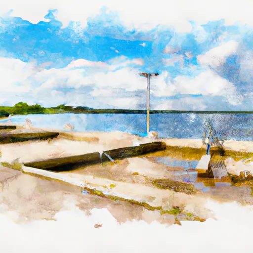
The boat ramp services Lake Winnebago, which is a massive freshwater lake located in east-central Wisconsin. Lake Winnebago is the largest inland lake in the state and covers an area of more than 137,000 acres. The lake is known for its excellent fishing opportunities, including walleye, perch, and white bass.
The boat ramp at Lake Winnebago – Wendt's Landing is open to the public and provides easy access to the lake for fishing, boating, and other recreational activities. The ramp is well-maintained and includes parking spaces for vehicles and trailers.
Based on the latest information available, there are no restrictions on the types of watercraft that are permitted on Lake Winnebago. However, boaters are advised to follow all safety regulations, including wearing life jackets and carrying all necessary safety equipment. Additionally, boaters should be aware of any boating restrictions and regulations that may be in place, such as speed limits and no-wake zones.
In conclusion, Lake Winnebago – Wendt's Landing boat ramp is a well-maintained concrete ramp located in Fond du Lac County, Wisconsin. The ramp is 35 feet wide and provides easy access to Lake Winnebago, which is the largest inland lake in the state. The ramp is suitable for smaller watercraft, and there are no restrictions on the types of vessels that are permitted on the lake.
Plan your launch down to the hour
Same weather feed Snoflo's iOS app uses -- updated continuously from NOAA / yr.no.
Next 5 days, hour by hour
Temperature line with weather symbols on top, snow + rain accumulation as columns, humidity as a dotted line.
5-day forecast table
Every 3 hours, broken out across temperature, snow, rain, humidity, and wind.
| Time | Condition | Temp (°F) | Snow (in) | Rain (in) | Humidity (%) | Wind (mps) | Wind dir |
|---|---|---|---|---|---|---|---|
| Loading detailed forecast… | |||||||
15-day temperature & precipitation
Daily temperatures, snow, and rain projected over the next two weeks.
Area streamflow levels
USGS streamgauges around Lake Winnebago -- Wendt's Landing -- the same readings that determine whether your launch is safe and your boat is the right craft.
| Streamgauge | Discharge | View |
|---|---|---|
| Fox River At Oshkosh | 2,210 cfs | → |
| West Branch Rock River @ State Hwy 49 Nr Waupun | 40 cfs | → |
| South Branch Rock River At Waupun | 4 cfs | → |
| Fox River At Appleton | 2,130 cfs | → |
| Green Lake Inlet At Ct Highwy A Near Green Lake | 67 cfs | → |
| Otter Creek At Willow Road Near Plymouth | 31 cfs | → |
Plan a longer trip
The closest paddle runs, fishing spots, and other boat launches so you can extend a day on the water.
Boating safety & etiquette
- Check the conditions before you launch
- Use the streamflow numbers, weather, and wind forecast on this page. High-cfs whitewater requires whitewater-specific craft and skill.
- Wear your life jacket
- Statistically the single biggest survival factor in a boating incident. State law often requires one per passenger.
- File a float plan
- Tell someone on shore your put-in, take-out, and expected return time. Especially for multi-day or remote trips.
- Yield at the ramp
- Prep gear in the parking lot, not on the ramp. Launch and clear quickly so others can use the lane.
- Clean, drain, dry
- Inspect, clean, drain and dry your boat between waters to prevent the spread of aquatic invasive species.
Set push alerts in the Snoflo app
Save Lake Winnebago -- Wendt's Landing as a favorite, set a discharge threshold or a wind/precipitation alert, and the iOS app will push the moment conditions cross.
About Lake Winnebago -- Wendt's Landing
Can I launch a motorboat here?
Most Snoflo-tracked launches support motorboats; check the operator for any horsepower restrictions, paddle-only zones, or seasonal closures.
How fresh is the streamflow data?
USGS streamgauges report continuously (every 15 minutes); the table on this page pulls the latest reading at page load.
Is there a fee?
Many federal and state boat launches charge a day-use fee. Check the operator's site before driving out.
What boat is right for these conditions?
Use the nearby streamflow numbers and river-run panel on this page to gauge current conditions. Wider, slower water is friendly for casual paddling and powerboats; high-cfs whitewater requires whitewater-specific craft and skill.
Can I get alerts when conditions change?
Yes -- alerts are managed in the Snoflo iOS app. Favorite this launch, set a threshold (discharge, wind), and you'll get a push the moment it crosses.
Other launches near here
Snoflo-tracked boat launches within driving distance of Lake Winnebago -- Wendt's Landing.