Lake Noquebay -- Access - Nr Upper Inlet Nr Pines Ln Boat Launch
Community Reviews
Been here? Share the conditions.
Reviews, ratings & photos are added in the free Snoflo iOS app — rate a spot, tag the conditions, and your visit is verified by location. Add or manage your reviews from the app.
Lake Noquebay -- Access - Nr Upper Inlet Nr Pines Ln
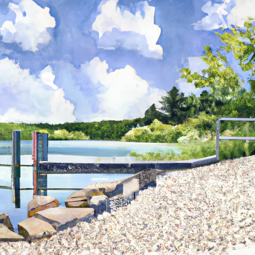
According to the latest information available, the boat ramp at Lake Noquebay is a concrete ramp with a gradual slope, making it easy for boaters to launch and retrieve their watercraft. The ramp is also reported to be in good condition, with no major obstructions or hazards.
The width of the boat ramp is not specified in the available information, but it is large enough to accommodate a variety of watercraft, including small fishing boats, pontoon boats, and personal watercraft.
Lake Noquebay itself is a relatively large body of water, covering over 2,400 acres, with a maximum depth of 51 feet. It is known for its clear waters, abundant fish populations, and scenic shoreline.
As for the types of watercraft that are permitted on Lake Noquebay, the latest information indicates that motorized boats, canoes, kayaks, and other non-motorized watercraft are allowed. However, there may be restrictions on the size and horsepower of motorized boats, depending on the specific regulations in place at the time.
Overall, the boat ramp at Lake Noquebay appears to be a well-maintained and accessible entry point for boaters looking to enjoy the beautiful waters of this Wisconsin lake.
Plan your launch down to the hour
Same weather feed Snoflo's iOS app uses -- updated continuously from NOAA / yr.no.
Next 5 days, hour by hour
Temperature line with weather symbols on top, snow + rain accumulation as columns, humidity as a dotted line.
5-day forecast table
Every 3 hours, broken out across temperature, snow, rain, humidity, and wind.
| Time | Condition | Temp (°F) | Snow (in) | Rain (in) | Humidity (%) | Wind (mps) | Wind dir |
|---|---|---|---|---|---|---|---|
| Loading detailed forecast… | |||||||
15-day temperature & precipitation
Daily temperatures, snow, and rain projected over the next two weeks.
Area streamflow levels
USGS streamgauges around Lake Noquebay -- Access - Nr Upper Inlet Nr Pines Ln -- the same readings that determine whether your launch is safe and your boat is the right craft.
| Streamgauge | Discharge | View |
|---|---|---|
| Peshtigo River At Porterfield | 334 cfs | → |
| Menominee River Near Mc Allister | 2,140 cfs | → |
| Menominee River At Koss | 2,240 cfs | → |
| Menominee River At White Rapids Dam Near Banat | 2,060 cfs | → |
| Peshtigo River At Peshtigo | 51 cfs | → |
| Pike River At Amberg | 109 cfs | → |
Plan a longer trip
The closest paddle runs, fishing spots, and other boat launches so you can extend a day on the water.
Boating safety & etiquette
- Check the conditions before you launch
- Use the streamflow numbers, weather, and wind forecast on this page. High-cfs whitewater requires whitewater-specific craft and skill.
- Wear your life jacket
- Statistically the single biggest survival factor in a boating incident. State law often requires one per passenger.
- File a float plan
- Tell someone on shore your put-in, take-out, and expected return time. Especially for multi-day or remote trips.
- Yield at the ramp
- Prep gear in the parking lot, not on the ramp. Launch and clear quickly so others can use the lane.
- Clean, drain, dry
- Inspect, clean, drain and dry your boat between waters to prevent the spread of aquatic invasive species.
Set push alerts in the Snoflo app
Save Lake Noquebay -- Access - Nr Upper Inlet Nr Pines Ln as a favorite, set a discharge threshold or a wind/precipitation alert, and the iOS app will push the moment conditions cross.
About Lake Noquebay -- Access - Nr Upper Inlet Nr Pines Ln
Can I launch a motorboat here?
Most Snoflo-tracked launches support motorboats; check the operator for any horsepower restrictions, paddle-only zones, or seasonal closures.
How fresh is the streamflow data?
USGS streamgauges report continuously (every 15 minutes); the table on this page pulls the latest reading at page load.
Is there a fee?
Many federal and state boat launches charge a day-use fee. Check the operator's site before driving out.
What boat is right for these conditions?
Use the nearby streamflow numbers and river-run panel on this page to gauge current conditions. Wider, slower water is friendly for casual paddling and powerboats; high-cfs whitewater requires whitewater-specific craft and skill.
Can I get alerts when conditions change?
Yes -- alerts are managed in the Snoflo iOS app. Favorite this launch, set a threshold (discharge, wind), and you'll get a push the moment it crosses.
Other launches near here
Snoflo-tracked boat launches within driving distance of Lake Noquebay -- Access - Nr Upper Inlet Nr Pines Ln.