Summary
The surrounding views are truly breathtaking, featuring the stunning natural beauty of the surrounding mountains and forests. The area is home to a variety of wildlife, including elk, deer, and black bears.
There are several nearby points of interest that make the Washington Creek Camping Area a great place to stay. The area is home to many hiking trails that lead to scenic overlooks and mountain lakes. The nearby Magruder Corridor is a popular destination for off-road enthusiasts.
The campground amenities include vault toilets, picnic tables, and fire rings. There is a nearby water source for drinking and cooking, but visitors need to bring their own water or filter it. The campground is first-come-first-serve and has 17 campsites.
An interesting fact about the area is that it was once home to the Nez Perce tribe, who used the land for fishing and hunting. The tribe's history is still evident in the area, with several historical sites and landmarks.
The best time of year to visit the Washington Creek Camping Area is from June through September. During this time, temperatures range from 60-80 degrees Fahrenheit during the day and 30-50 degrees Fahrenheit at night. Visitors should be aware that the area can experience sudden weather changes and should prepare accordingly.
°F
°F
mph
Wind
%
Humidity
15-Day Weather Outlook
Nearby Campgrounds
| Location | Reservations |
|---|---|
 Washington Creek
|
|
 Station Creek Camp
|
|
 Weitas Creek Campground
|
|
 Weitas
|
|
 Noe Creek Campground
|
|
 Noe Creek
|
5-Day Hourly Forecast Detail
Nearby Streamflow Levels
 Nf Clearwater River Nr Canyon Ranger Station Id
|
2950cfs |
 St. Joe River At Red Ives Ranger Station Id
|
219cfs |
 Lolo Creek Nr Greer Id
|
771cfs |
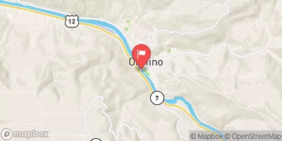 Clearwater River At Orofino Id
|
5850cfs |
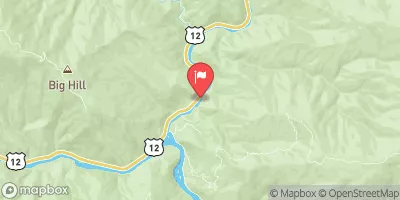 Lochsa River Nr Lowell Id
|
1860cfs |
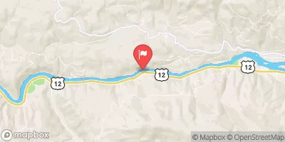 Clearwater River Nr Peck Id
|
7310cfs |
Camping Essential Practices
Take all trash, food scraps, and gear back with you to keep campsites clean and protect wildlife.
Respect Wildlife
Observe animals from a distance, store food securely, and never feed wildlife to maintain natural behavior and safety.
Know Before You Go
Check weather, fire restrictions, trail conditions, and permit requirements to ensure a safe and well-planned trip.
Minimize Campfire Impact
Use established fire rings, keep fires small, fully extinguish them, or opt for a camp stove when fires are restricted.
Leave What You Find
Preserve natural and cultural features by avoiding removal of plants, rocks, artifacts, or other elements of the environment.
Related Links
Nearby Snowpack Depths
|
SHANGHI SUMMIT
|
0" |
|
SHANGHI SUMMIT
|
0" |
|
NOHRSC COOL CREEK
|
2" |
|
COOL CREEK
|
1" |
|
HEMLOCK BUTTE
|
0" |
|
HEMLOCK BUTTE
|
0" |

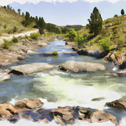 Dworshak Reservoir, Sec. 34, T41N, R6E To Forest Road #250, Sec. 6, T40N, R11E