Summary
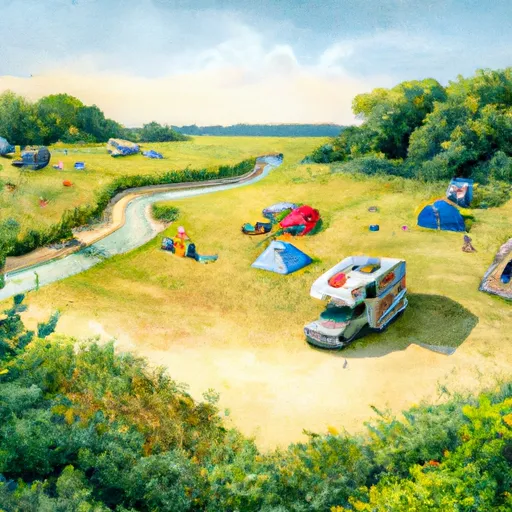
Situated in a serene natural setting, this campsite offers a range of amenities to enhance your camping experience. With spacious camping spots, picnic tables, and fire rings, campers can enjoy a comfortable stay in the great outdoors. The campground also features clean restroom facilities and drinking water, providing convenience for visitors.
Reservations are accepted at the Onondaga Camping Area, allowing campers to secure their spot ahead of time. This ensures availability, especially during peak seasons. It is recommended to make reservations in advance to guarantee a spot, as this campground is popular among outdoor enthusiasts.
The best time to visit the Onondaga Camping Area is during the summer months, from May to September, when the weather is warm and ideal for outdoor activities. It is important to note that the campground is first-come, first-served during the off-season, so availability may vary.
Visitors to the Onondaga Camping Area will find a variety of recreational activities to enjoy, such as hiking trails, fishing, and wildlife viewing. However, campers should be cautious of poison ivy, ticks, and other common hazards found in the camping area. It is advised to come prepared with bug spray, proper hiking gear, and to be aware of the surroundings to ensure a safe and enjoyable camping experience.
°F
°F
mph
Wind
%
Humidity
15-Day Weather Outlook
5-Day Hourly Forecast Detail
Nearby Streamflow Levels
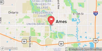 Squaw Creek At Ames
|
53cfs |
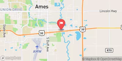 South Skunk River Below Squaw Creek Near Ames
|
130cfs |
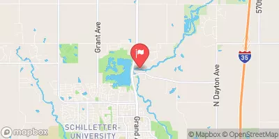 South Skunk River Near Ames
|
92cfs |
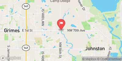 Beaver Creek Near Grimes
|
183cfs |
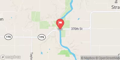 Des Moines River Near Stratford
|
1720cfs |
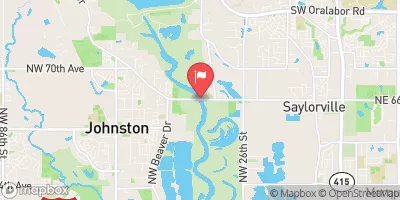 Des Moines River Near Saylorville
|
1210cfs |
Camping Essential Practices
Take all trash, food scraps, and gear back with you to keep campsites clean and protect wildlife.
Respect Wildlife
Observe animals from a distance, store food securely, and never feed wildlife to maintain natural behavior and safety.
Know Before You Go
Check weather, fire restrictions, trail conditions, and permit requirements to ensure a safe and well-planned trip.
Minimize Campfire Impact
Use established fire rings, keep fires small, fully extinguish them, or opt for a camp stove when fires are restricted.
Leave What You Find
Preserve natural and cultural features by avoiding removal of plants, rocks, artifacts, or other elements of the environment.
Related Links
Nearby Snowpack Depths
|
BOONE
|
0" |
|
AMES 2.1 N
|
0" |
|
AMES 0.9 ENE
|
0" |
|
JOHNSTON 3.7 NNW
|
0" |
|
DES MOINES
|
0" |
|
BLO SQUAW CK ON THE SOUTH SKUNK R.
|
0" |

 Onondaga
 Kiowa
Kiowa
 Oneida
 Iriquois
 Crow
Crow
 Mohawk
 Opal Lane Boone County
 McHose Park
 Hermans Park
 Bouton City Park