Summary
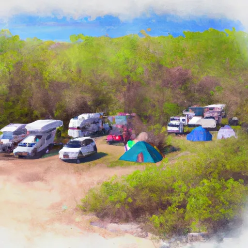
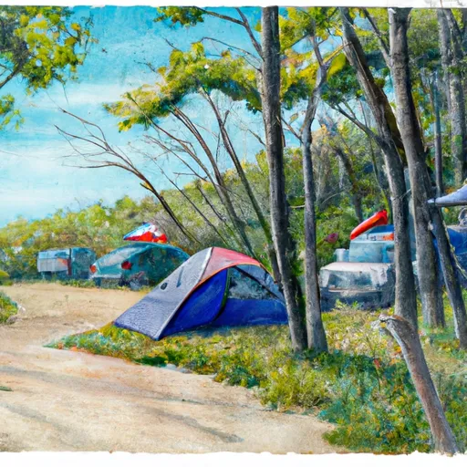
This campground offers a range of amenities to cater to campers' needs. There are pit toilets and hand pumps available for drinking water, ensuring basic facilities for visitors. However, it is important to note that there are no shower facilities or electrical hookups at this campground.
Reservations are not accepted for Hurricane River campground; it operates on a first-come, first-served basis. Therefore, it is recommended to arrive early to secure a site, especially during peak season. The best time to visit this camping area is during the summer months, from June to September, when weather conditions are milder and more conducive to outdoor activities.
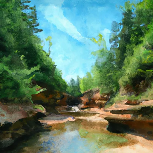
While camping at Hurricane River, there are several points of interest to explore. The campground is situated near Lake Superior, offering stunning views and opportunities for swimming, fishing, and boating. Additionally, there are hiking trails nearby, including the popular Chapel Loop and North Country Trail, providing opportunities for scenic walks and wildlife spotting.
It is essential to be cautious while camping in this area. Bears are known to frequent the region, so campers must properly store food and dispose of waste to avoid attracting them. Additionally, ticks can be prevalent in the area, so wearing insect repellent and regularly checking for ticks is advisable. The campground is also close to a river, so be cautious of strong currents if engaging in water activities. By taking these precautions and enjoying the natural beauty of Hurricane River, campers can have a memorable and safe experience.
°F
°F
mph
Wind
%
Humidity
15-Day Weather Outlook
Nearby Campgrounds
5-Day Hourly Forecast Detail
Nearby Streamflow Levels
 Au Train River At Forest Lake
|
137cfs |
 Tahquamenon River Near Paradise
|
1580cfs |
 Manistique River Near Manistique
|
2650cfs |
 Black River Near Garnet
|
16cfs |
 Sturgeon River Near Nahma Junction
|
105cfs |
Camping Essential Practices
Take all trash, food scraps, and gear back with you to keep campsites clean and protect wildlife.
Respect Wildlife
Observe animals from a distance, store food securely, and never feed wildlife to maintain natural behavior and safety.
Know Before You Go
Check weather, fire restrictions, trail conditions, and permit requirements to ensure a safe and well-planned trip.
Minimize Campfire Impact
Use established fire rings, keep fires small, fully extinguish them, or opt for a camp stove when fires are restricted.
Leave What You Find
Preserve natural and cultural features by avoiding removal of plants, rocks, artifacts, or other elements of the environment.
Related Links
Nearby Snowpack Depths
|
MCMILLAN 7.4 N
|
0" |
|
MUNISING
|
0" |
|
NEWBERRY-LUCE COUNTY ROAD COMMISSION
|
0" |
|
ENGADINE MDOT
|
0" |
|
MANISTIQUE 2.7 NW
|
0" |
|
MANISTIQUE WWTP
|
0" |

 Hurricane River - Pictured Rocks National Lakeshor
 Hurricane River Campground
 Hurricane River
 Au Sable Point
 Au Sable East Group Campground
 Au Sable Point Campsite