Summary
The campsite is surrounded by breathtaking views of the forest and the nearby Kawishiwi River, which provides ample opportunities for fishing, swimming, and boating.
One of the main points of interest near Cedargrove camping area is the Boundary Waters Canoe Area Wilderness, a vast area of untouched wilderness that stretches between Minnesota and Canada. Visitors can explore this pristine wilderness area by canoe, kayak, or hiking, and enjoy the stunning scenery and abundant wildlife.
The campground itself offers a range of amenities to ensure a comfortable and enjoyable stay. These include picnic tables, fire pits, vault toilets, and drinking water. There are also several nearby hiking trails, including the popular Kawishiwi Falls Trail, which offers stunning views of the Kawishiwi River and a picturesque waterfall.
Interesting facts about the area include the fact that the Superior National Forest is home to over 2,000 lakes and streams, as well as countless wildlife species, including moose, bears, wolves, and bald eagles.
The best time of year to visit Cedargrove camping area is during the summer months, between June and August, when temperatures are typically in the mid-70s to low 80s and the weather is generally sunny and dry. However, visitors should be prepared for cooler temperatures and the possibility of rain or even snow, as the weather in this area can be unpredictable.
Overall, Cedargrove camping area is a wonderful destination for anyone looking to experience the beauty and tranquility of the Minnesota wilderness. With its stunning views, abundant wildlife, and range of amenities, it offers an unforgettable camping experience for visitors of all ages and interests.
°F
°F
mph
Wind
%
Humidity
15-Day Weather Outlook
Nearby Campgrounds
| Location | Reservations |
|---|---|
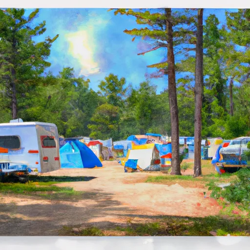 Cedargrove
|
|
 Akers
Akers
|
|
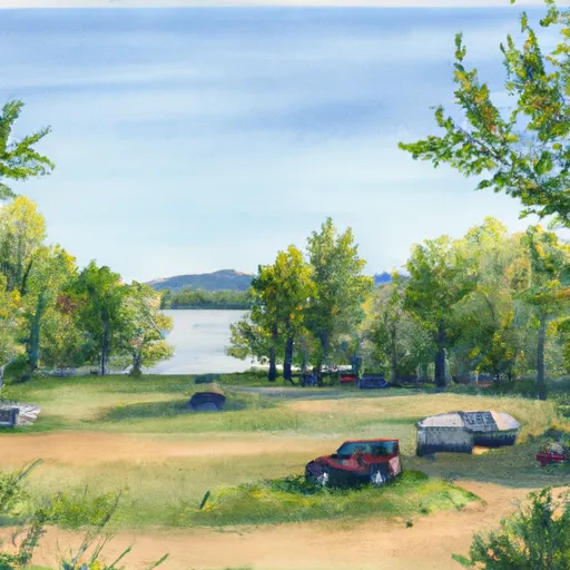 Akers Ferry Campground
|
|
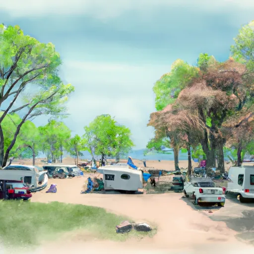 Montauk
|
|
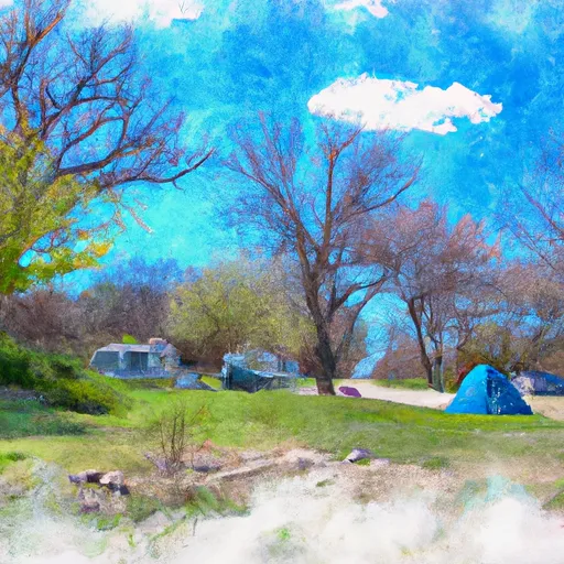 Montauk State Park
|
|
 Jason's Place
|
5-Day Hourly Forecast Detail
Nearby Streamflow Levels
 Current River Above Akers
|
188cfs |
 Jacks Fork At Alley Spring
|
80cfs |
 Jacks Fork At Eminence
|
195cfs |
 Jacks Fork Near Mountain View
|
55cfs |
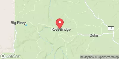 Big Piney River Near Big Piney
|
161cfs |
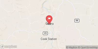 Meramec River At Cook Station
|
31cfs |
Camping Essential Practices
Take all trash, food scraps, and gear back with you to keep campsites clean and protect wildlife.
Respect Wildlife
Observe animals from a distance, store food securely, and never feed wildlife to maintain natural behavior and safety.
Know Before You Go
Check weather, fire restrictions, trail conditions, and permit requirements to ensure a safe and well-planned trip.
Minimize Campfire Impact
Use established fire rings, keep fires small, fully extinguish them, or opt for a camp stove when fires are restricted.
Leave What You Find
Preserve natural and cultural features by avoiding removal of plants, rocks, artifacts, or other elements of the environment.
Related Links
Nearby Snowpack Depths
|
CLEARWATER DAM - BLACK RVR
|
0" |
|
IBERIA
|
0" |

 Conservation Area Cedar Grove
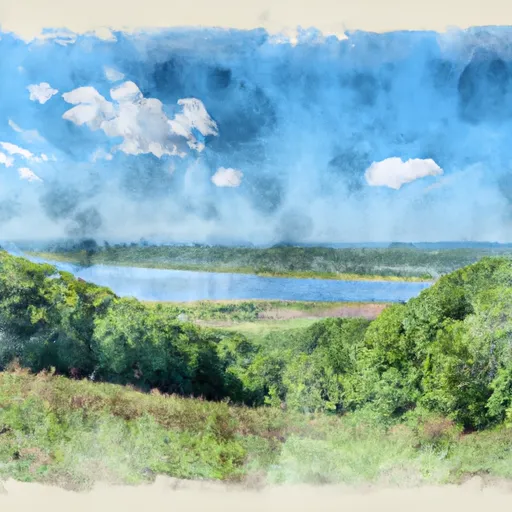 Montauk State Park
 Sunklands Natural Area