Summary
Nearby activities include hiking, fishing, and hunting. The campground has no amenities and is first-come-first-serve with limited campsites available. The best time of year to visit is during the summer months with average temperatures ranging from 70-80 degrees Fahrenheit during the day and cooling down to 40-50 degrees Fahrenheit at night. Visitors should be prepared for primitive camping and bring all necessary supplies with them.
°F
°F
mph
Wind
%
Humidity
15-Day Weather Outlook
Nearby Campgrounds
5-Day Hourly Forecast Detail
Nearby Streamflow Levels
Camping Essential Practices
Take all trash, food scraps, and gear back with you to keep campsites clean and protect wildlife.
Respect Wildlife
Observe animals from a distance, store food securely, and never feed wildlife to maintain natural behavior and safety.
Know Before You Go
Check weather, fire restrictions, trail conditions, and permit requirements to ensure a safe and well-planned trip.
Minimize Campfire Impact
Use established fire rings, keep fires small, fully extinguish them, or opt for a camp stove when fires are restricted.
Leave What You Find
Preserve natural and cultural features by avoiding removal of plants, rocks, artifacts, or other elements of the environment.
Related Links
Nearby Snowpack Depths
|
NOHRSC WEST YELLOWSTONE
|
0" |
|
WEST YELLOWSTONE
|
0" |
|
WHISKEY CREEK
|
0" |
|
NOHRSC WHISKEY CREEK
|
0" |
|
MADISON PLATEAU
|
2" |
|
NOHRSC MADISON PLATEAU
|
2" |

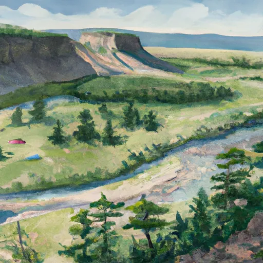 Cherry Creek - Dispersed
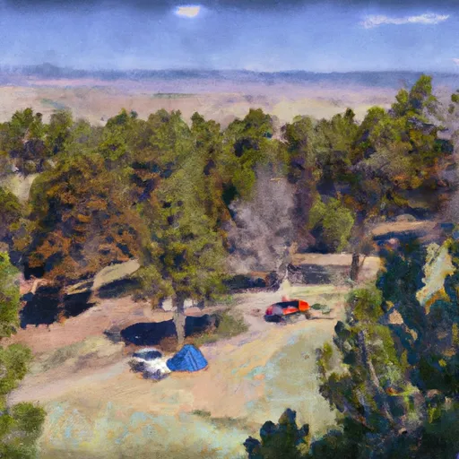 Lonesomehurst
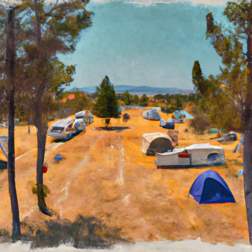 Lonesomehurst Campground
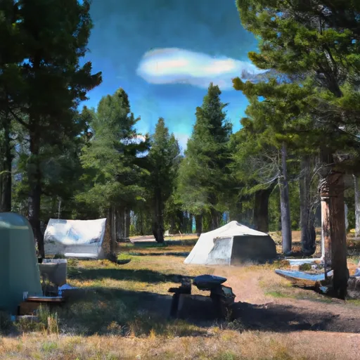 Basin Station Cabin
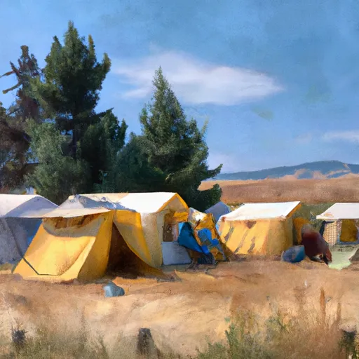 Under Canvas Glamping
 Rainbow Point Campground
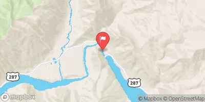
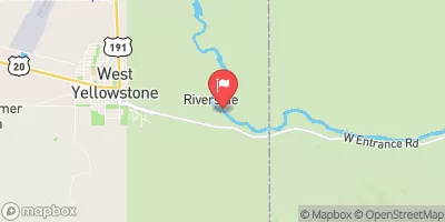
 Unnamed Lake North Of Edwards Lake (And East/West Forks) To Targhee Nf Boundary
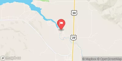
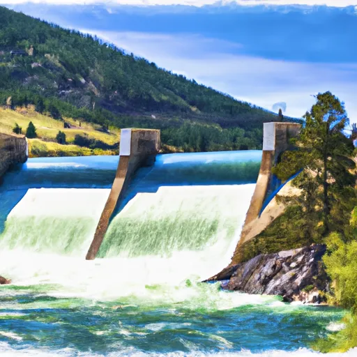 Hebgen Lake Dam, Sec. 23, T11S, R3E To Gallatin Forest Boundary, Sec. 35, T11S, R2E