
Summary
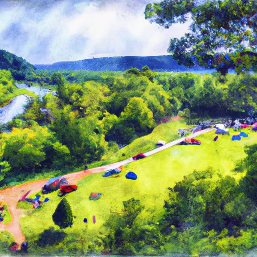
Nearby activities include hiking, fishing, and wildlife watching. The campground amenities include picnic tables, fire rings, and vault toilets. The campground is first-come-first-serve and has 10 primitive campsites available. The best time of year to visit is from late spring to early fall, with average temperatures ranging from 60-80 degrees Fahrenheit.
Nearby Campgrounds
 Clay Lick - DFWR
 Claylick Boat-in Campground
 Zilpo Rec Area
 Zilpo Recreation Area
 Twin Knobs Rec Area
 Twin Knobs West Group Use Area
Weather Forecast
Nearby Streamflow Levels
Camping Essential Practices
Take all trash, food scraps, and gear back with you to keep campsites clean and protect wildlife.
Respect Wildlife
Observe animals from a distance, store food securely, and never feed wildlife to maintain natural behavior and safety.
Know Before You Go
Check weather, fire restrictions, trail conditions, and permit requirements to ensure a safe and well-planned trip.
Minimize Campfire Impact
Use established fire rings, keep fires small, fully extinguish them, or opt for a camp stove when fires are restricted.
Leave What You Find
Preserve natural and cultural features by avoiding removal of plants, rocks, artifacts, or other elements of the environment.
Related Links
Nearby Snowpack Depths
|
CAVE RUN LAKE
|
0" |
|
MOREHEAD 6.4 NE
|
0" |
|
OLIVE HILL 9.0 SSE
|
0" |
|
MOUNT STERLING
|
0" |
|
WATER WORKS-KENTUCKY #4
|
0" |
|
BEATTYVILLE 4N
|
0" |
 Boat Ramp Bath County
 Ramey Creek Fishing Site
 Muskie Bend Fishing Site
 Shallow Flats Wildlife Viewing Area