Summary
This campground offers a range of amenities to enhance the camping experience. Visitors can enjoy the convenience of electric hookups, picnic tables, fire rings, and restrooms with showers. There are also playgrounds and swimming areas available for families to enjoy. Additionally, the campground provides access to hiking trails, fishing spots, and boating activities on Lake Elmer Thomas.
Reservations are accepted at Lake Elmer Thomas Military - Fort Sill camping area, allowing campers to secure their preferred campsites in advance. This is particularly important during peak seasons when the campground tends to fill up quickly. Speaking of seasons, the best time to visit this camping area is during the spring and fall when the weather is mild and pleasant. Summers can be hot and humid, while winters can get quite cold.
Campers should be cautious of wildlife in the camping area, especially snakes and ticks that may be present in the surrounding nature. It is advisable to take necessary precautions and be aware of any safety guidelines provided by the campground. Overall, Lake Elmer Thomas Military - Fort Sill camping area offers a well-equipped and scenic environment for campers to enjoy a memorable outdoor experience in Oklahoma.
°F
°F
mph
Wind
%
Humidity
15-Day Weather Outlook
Nearby Campgrounds
5-Day Hourly Forecast Detail
Nearby Streamflow Levels
Camping Essential Practices
Take all trash, food scraps, and gear back with you to keep campsites clean and protect wildlife.
Respect Wildlife
Observe animals from a distance, store food securely, and never feed wildlife to maintain natural behavior and safety.
Know Before You Go
Check weather, fire restrictions, trail conditions, and permit requirements to ensure a safe and well-planned trip.
Minimize Campfire Impact
Use established fire rings, keep fires small, fully extinguish them, or opt for a camp stove when fires are restricted.
Leave What You Find
Preserve natural and cultural features by avoiding removal of plants, rocks, artifacts, or other elements of the environment.

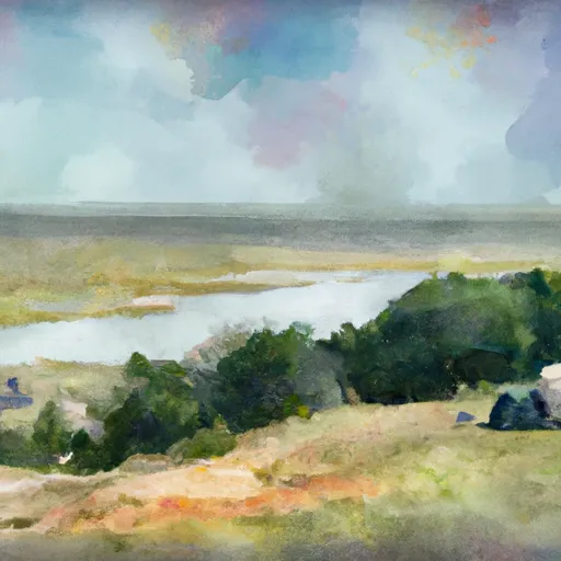 Lake Elmer Thomas Military - Fort Sill
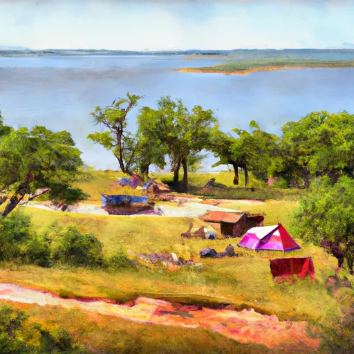 East Side - Lake Lawtonka
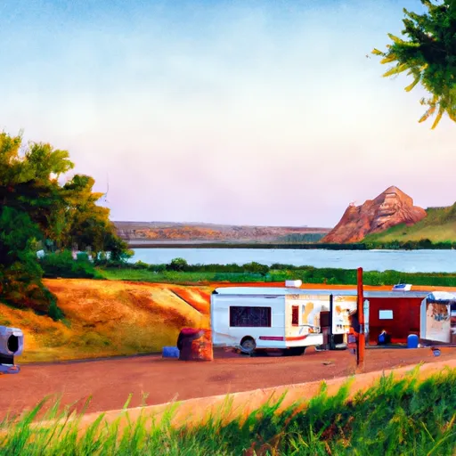 Robinsons Landing - Lake Lawtonka
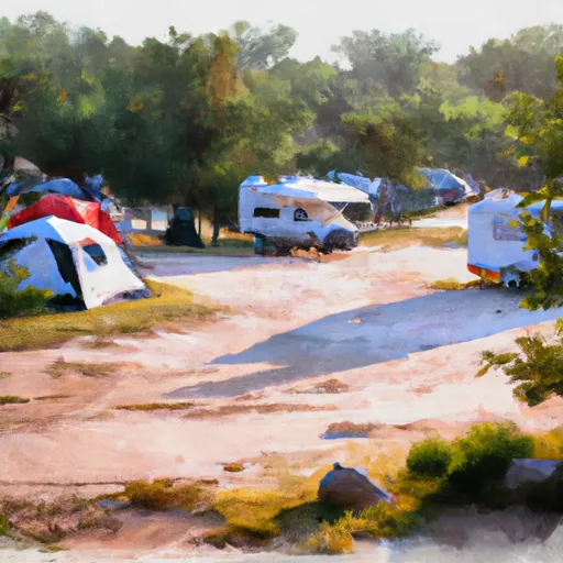 Medicine Creek RV Military - Fort Sill
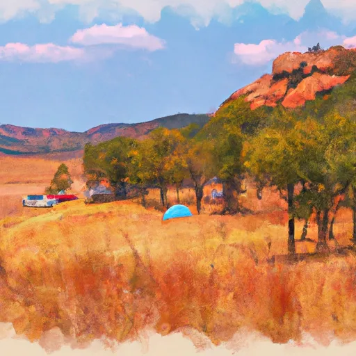 Doris Campground - Wichita Mts NWR
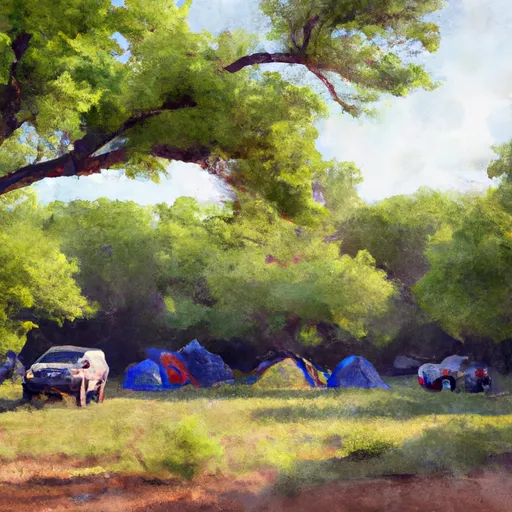 Doris Camp
