Summary
Despite its off-the-beaten-path location, this campground offers a range of amenities to make your stay comfortable. Multiple independent sources verify the availability of picnic tables, fire pits, and clean restroom facilities. However, it is important to note that there is no potable water on-site, so campers should bring their own or be prepared to treat water from nearby sources.
Reservations are not accepted at the Bi9A-User Created camping area. It operates on a first-come, first-served basis, so campers should plan accordingly and arrive early to secure a spot during peak seasons. The best time to visit this picturesque campground is during the summer months, from June to September, when the weather is mild and conducive to outdoor activities like hiking and fishing.
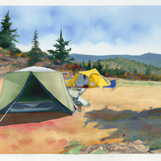
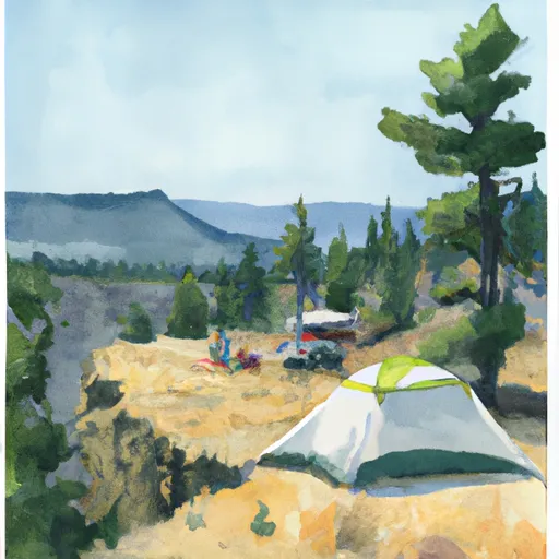
While exploring the Bi9A-User Created camping area, campers will be captivated by the stunning natural beauty surrounding them. The campground is nestled amidst towering trees, providing ample shade and creating a serene atmosphere. However, it is important to be cautious of wildlife in the area, including bears and cougars. Campers should store food securely and follow proper safety protocols to minimize the risk of encounters. Overall, the Bi9A-User Created camping area promises a tranquil and immersive camping experience, perfect for those seeking solace in nature.
°F
°F
mph
Wind
%
Humidity
15-Day Weather Outlook
Nearby Campgrounds
| Location | Reservations |
|---|---|
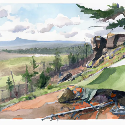 BI9A-User Created
|
|
 BI9-User Created
|
|
 BI10A-User Created
|
|
 BI10-User Created
|
|
 BI8-User Created
|
|
 BI7-User Created
|
5-Day Hourly Forecast Detail
Nearby Streamflow Levels
Camping Essential Practices
Take all trash, food scraps, and gear back with you to keep campsites clean and protect wildlife.
Respect Wildlife
Observe animals from a distance, store food securely, and never feed wildlife to maintain natural behavior and safety.
Know Before You Go
Check weather, fire restrictions, trail conditions, and permit requirements to ensure a safe and well-planned trip.
Minimize Campfire Impact
Use established fire rings, keep fires small, fully extinguish them, or opt for a camp stove when fires are restricted.
Leave What You Find
Preserve natural and cultural features by avoiding removal of plants, rocks, artifacts, or other elements of the environment.
Related Links
Nearby Snowpack Depths
|
FISH CREEK
|
0" |
|
FISH CREEK
|
0" |
|
NOHRSC SILVIES
|
0" |
|
SILVIES
|
0" |
|
DISASTER PEAK
|
1" |
|
DISASTER PEAK
|
1" |

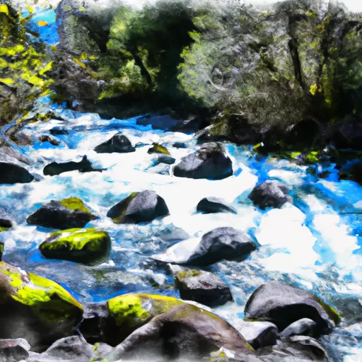 Mccoy Creek
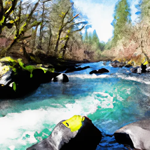 Willow Creek